Charleston Weather: Dry Heat Builds, Coastal Flooding Threat by Friday Night
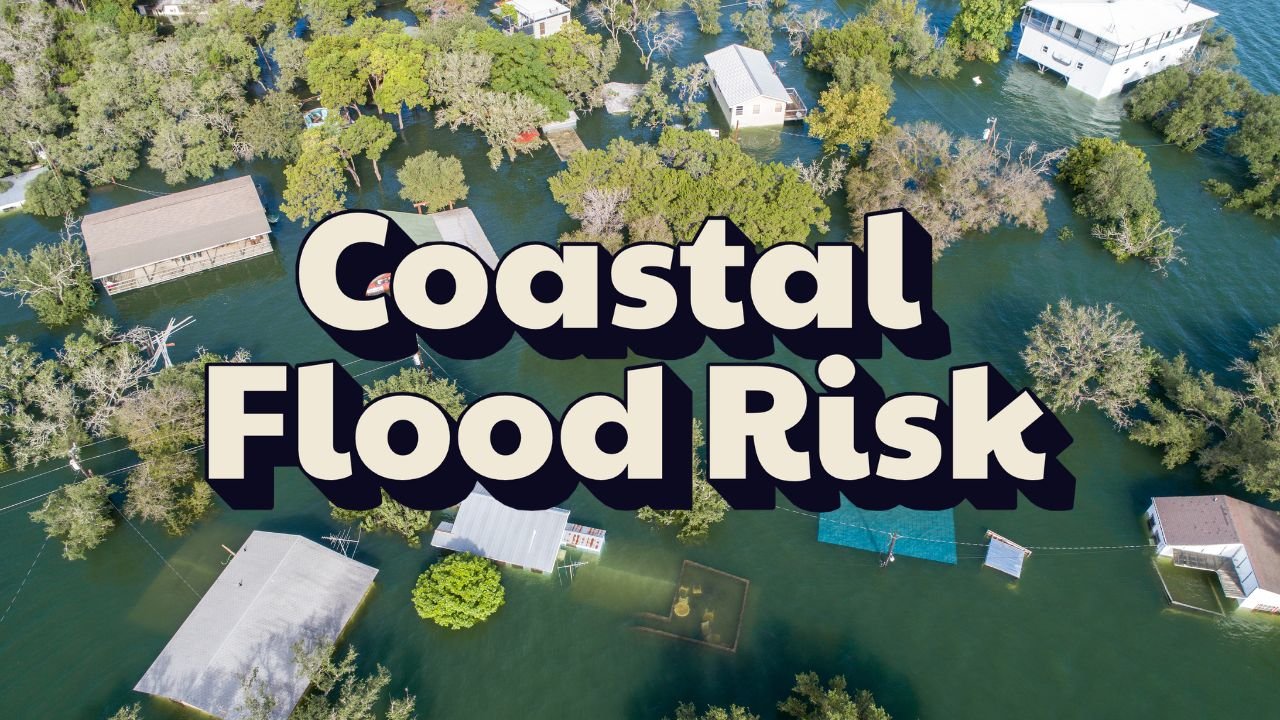
CHARLESTON, S.C. — Dry skies and rising temperatures will dominate the Lowcountry through Saturday, but the National Weather Service in Charleston is warning that minor coastal flooding could begin as soon as Friday evening, especially during high tides downtown.
Dry and Hot Through Saturday
High pressure will keep the region mostly sunny with highs climbing into the mid-90s Friday and Saturday. Forecasters expect the hottest conditions inland, though the heat index near the coast will also climb into uncomfortable ranges.
Flooding Risk in Downtown Charleston
Evening high tides could push water into low-lying roads and neighborhoods, with particular concern for the Battery and other flood-prone areas of Charleston.
“Residents should plan to move vehicles from low-lying parking areas ahead of evening tide cycles,” the NWS advised.
Flooding concerns may persist into early next week, particularly in the Charleston peninsula and barrier islands.
Storms Return Sunday
By Sunday, a developing area of low pressure will move toward the coast, increasing the likelihood of scattered showers and thunderstorms. While rain may briefly ease the heat, it could also exacerbate flooding during peak tides, especially in flood-prone neighborhoods.
Five-Day Charleston Forecast
- Tonight: Decreasing clouds, lows 63–71°
- Thursday: Mostly sunny, highs 85–91°
- Friday: Mostly sunny, highs 87–94°, evening coastal flooding possible
- Saturday: Mostly sunny, highs 88–96°, minor flooding risk continues
- Sunday: Partly sunny, chance of showers/storms, highs 87–95°, flooding risk with high tide
Do you think Charleston needs stronger flood protections as sea levels rise and high-tide flooding becomes more frequent? Share your views at SaludaStandard-Sentinel.com.