Arkansas, Tennessee, and North Carolina Brace for Wintry Mix as Icy Rain and Snow Move In Before the Weekend
ARKANSAS — A chaotic early December weather pattern is setting up across the South and Southeast, with new forecast models showing a corridor of freezing rain and light snow stretching from Arkansas through Tennessee and into North Carolina by Friday evening. The event could make roads slick, trees icy, and driveways treacherous as a broad winter system sweeps across multiple states.
According to the latest NAM model data, the atmosphere is preparing to deliver what forecasters call a “mixed precipitation event,” involving pockets of freezing rain, sleet, and snow through late Friday and into Saturday morning.
Meteorologists say this setup could bring a quick but impactful period of ice accumulation between 0.05 and 0.10 inches in some areas, with a dusting of snow possible across higher elevations of eastern Tennessee and western North Carolina.
Winter Conditions Expected from Arkansas to the Appalachians
The National Weather Service’s data shows that pink zones on the freezing rain map cover parts of central and northern Arkansas, while shades of gray and blue — indicating snow — appear from central Tennessee into the Appalachian Mountains.
Residents from Little Rock to Memphis, and eastward into Knoxville and Asheville, could wake up to icy porches, slick bridges, and frozen driveways as surface temperatures hover near or below freezing.
“This looks like one of those events where even a light glaze could cause big problems,” one forecaster explained. “It doesn’t take much to make roads dangerous when temperatures are just below 32°F.”
In northern Mississippi, forecasters also note the potential for a light icing event, mainly north of Tupelo and Oxford, where cold air may briefly undercut rain bands during the early hours of Saturday.
States Prepare for Potential Impacts
The Arkansas Division of Emergency Management and Tennessee Department of Transportation have already issued early readiness advisories, warning that bridges, overpasses, and untreated secondary roads could become slick. Motorists are urged to avoid travel if ice develops overnight.
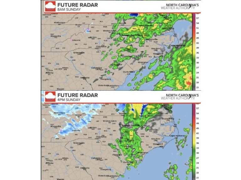
Meanwhile, North Carolina’s mountain and foothill communities are expected to see light snowfall, with totals of up to 1–2 inches possible near Boone and the Blue Ridge Parkway. The rest of the state could face a mix of rain and sleet, leading to patchy ice on elevated roadways.
Meteorologists Urge Caution but Not Panic
Experts emphasize that this is not a major winter storm — but rather a fast-moving system capable of brief, hazardous bursts of frozen precipitation. “This is a pattern that delivers quick hits,” one meteorologist said. “The problem isn’t depth, it’s timing and surface temperature. It only takes a thin layer of ice to cause chaos.”
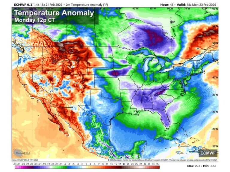
The setup follows a series of cold-air intrusions across the South this week, which have already sent temperatures plummeting below normal in multiple states. By Friday morning, wind chills in parts of Arkansas and Tennessee could feel like the low 20s.
Travel and Safety Tips for Residents
Officials across the region are reminding residents to prepare for slippery conditions:
- Avoid unnecessary travel during overnight freezing periods.
- Bring pets indoors and cover outdoor plants.
- Drip faucets to prevent pipes from freezing.
- Stay weather-aware through Friday night as conditions evolve.
Forecasters will continue to refine accumulation estimates as updated model runs come in, but for now, the consensus is clear — the South’s first icy episode of December is on the way.
Stay with SaludaStandard-Sentinel.com for ongoing weather coverage and state-by-state updates.


