Arctic Front to Deliver Coldest Air of the Season Across the Midwest Thursday, With Temperatures Up to 30 Degrees Below Normal
CHICAGO, IL — A powerful Arctic front is set to sweep across the Midwest on Thursday, December 4, bringing the coldest air of the season and driving temperatures to as much as 30 degrees below normal. Forecasters warn that the surge of polar air will lead to single-digit and even below-zero lows across multiple states, marking one of the most severe early-December cold spells in recent years.
Midwest Braces for Temperature Drop of 30 Degrees or More
Meteorologists say the Arctic outbreak will move in from the Northern Plains late Wednesday and spread rapidly through the Midwest, Great Lakes, and Upper Mississippi Valley by Thursday morning. Forecast models from the European Centre for Medium-Range Weather Forecasts (ECMWF) show widespread temperature anomalies between 20 and 30°F below average, with some areas plunging even further overnight.
Minnesota, Wisconsin, Iowa, Illinois, and Michigan are all expected to experience frigid morning lows ranging from single digits to below zero, accompanied by biting wind chills that could make it feel 10 to 20 degrees colder than actual air temperatures. The harsh cold will grip the region through Friday morning before slowly easing over the weekend.
Dangerously Cold Wind Chills Expected
The most intense cold is expected across the Upper Midwest, where Arctic air descending from Canada will push temperatures far below seasonal norms.
Forecasters caution that wind chills may reach -15°F to -25°F in parts of Minnesota, Wisconsin, and northern Iowa. Residents are urged to limit outdoor exposure, dress in multiple layers, and ensure that pets and livestock have access to shelter and water.
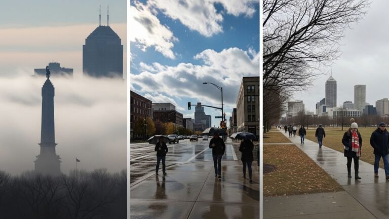
Even in cities farther south such as Chicago, Des Moines, and Indianapolis, temperatures are forecast to dip into the teens by Thursday morning, with highs struggling to reach the mid-20s despite sunshine.
Energy Demand and Travel Impact
The sudden and widespread cold snap is likely to increase regional energy demand, as utilities brace for higher heating usage. In addition, slick roads and reduced visibility could develop where light snow accompanies the frontal passage.
Transportation agencies across the Midwest are advising drivers to watch for black ice, particularly on untreated bridges and overpasses during the early morning commute.
Airlines have also issued advisories warning travelers of possible delays due to de-icing operations at airports in Chicago, Milwaukee, and Minneapolis.
Cold Pattern to Continue Into the Weekend
Meteorologists say this Arctic front will not be an isolated event. Another wave of cold air could follow early next week, keeping much of the central and northern U.S. locked in below-normal temperatures well into mid-December.
While some slight moderation is expected by Saturday, temperatures will remain 10–15 degrees below average across the Midwest, with continued frost and freezing mornings likely.
If you’re in the Midwest, how are you preparing for this upcoming Arctic blast? Share your weather updates and photos with us at SaludaStandard-Sentinel.com.