Arctic Cold Front Pushes Deep South as Rare Gulf-Effect Snowflakes Are Monitored Along Florida’s Gulf Coast This Weekend
FLORIDA — Meteorologists are closely watching a sharp late-January cold front pushing deep into the Southeast this weekend, sparking renewed chatter about whether parts of Florida could see a few snowflakes along the Gulf Coast. While snow in Florida is not unheard of, forecasters caution that this setup remains uncertain, with models wavering on whether conditions will fully align.
Why Snow Is Even Being Discussed in Florida
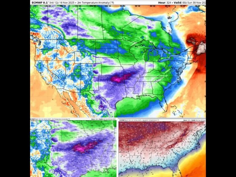
The unusual attention stems from a powerful surge of Arctic air plunging south across the central and eastern United States. Forecast data shows the critical 540 thickness line — a common benchmark meteorologists use to assess snow potential — dipping unusually far south toward the northern Gulf Coast.
When that cold air overlaps with moisture, precipitation can turn wintry. In this case, the Gulf of Mexico provides the moisture source, creating a scenario sometimes referred to as “Gulf-effect” snow.
How Gulf-Effect Snow Can Form
Gulf-effect snow works on a similar principle to lake-effect snow farther north, though it is far weaker and rarer. Cold air moving over comparatively warmer Gulf waters allows moisture to evaporate into the lower atmosphere. As that air rises and cools, clouds can form, occasionally producing light snowflakes if temperatures are cold enough throughout the column. Any flakes that develop are typically brief, patchy, and often mixed with rain, sleet, or graupel rather than accumulating snow.
What Models Are Showing Right Now
Forecast models have been inconsistent, flipping back and forth on whether moisture and cold air will overlap at just the right time. Some simulations suggest isolated flurries near the immediate Gulf Coast, while others keep precipitation entirely liquid or offshore.
Meteorologists stress that even if flakes do appear, they would likely be fleeting and limited to a narrow coastal corridor, with no measurable accumulation expected.
Has This Happened Before? Yes — But Rarely
Florida has experienced documented snow events in the past, including notable episodes in the late 20th century. These events required near-perfect alignment of Arctic air, moisture, and upper-level support — conditions that occur only once every several decades. That history explains why forecasters are intrigued but cautious, emphasizing observation over prediction.
What Residents Should Expect
For most of Florida, the primary impact will be colder-than-normal temperatures, gusty winds, and a sharp reminder of winter’s reach across the Southeast. Any talk of snow remains a low-confidence possibility rather than a forecast.
Meteorologists say the setup is worth watching but are “not making any bets yet,” as small shifts in temperature or moisture could erase the wintry signal altogether.
If you notice unusual winter weather where you live or have memories of past Florida snow events, share your experience with SaludaStandard-Sentinel.com and join the community discussion.


