Alabama, Mississippi, and Tennessee Face Elevated Overnight Tornado Risk as Storm System Shifts East Friday Night
ALABAMA, MISSISSIPPI, AND TENNESSEE — Residents across parts of the Lower Mississippi Valley and the Mid-South are being urged to remain alert Friday night as a developing storm system increases the risk for overnight severe weather, including isolated tornadoes after dark.
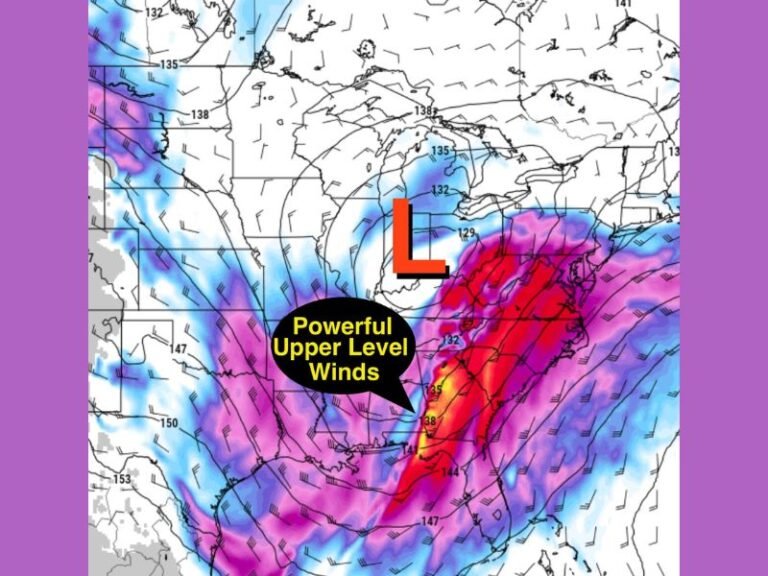
Forecast models show a broad zone of atmospheric instability combined with strong wind shear moving eastward. This setup can allow storms to rotate even when storm coverage is limited. While the overall risk is not widespread, meteorologists stress that nighttime tornadoes are among the most dangerous weather threats because they are harder to detect and often occur while people are asleep.
Why the Overnight Timing Raises Concern
Overnight severe weather poses a higher risk than daytime storms due to reduced visibility and slower response times. Tornadoes that occur after dark historically cause more injuries and fatalities, largely because warnings may be missed or people struggle to reach shelter quickly.
Although instability levels are expected to remain relatively low, strong wind shear will be present across the region, which is a key ingredient for storm rotation. Even a single storm could intensify rapidly, producing brief tornadoes or damaging wind gusts.
Areas Most at Risk Friday Night
The highest concern stretches across northern and central Alabama, central and eastern Mississippi, and portions of southern and middle Tennessee. Forecast guidance highlights a central corridor where storm ingredients overlap most strongly late Friday evening into early Saturday morning. Not every location within this zone will see severe weather, but forecasters warn that even one rotating storm can cause localized damage, particularly in rural communities or areas with limited shelter access.
What Residents Should Do Before Going to Bed
Emergency officials strongly recommend that residents prepare before going to sleep Friday night.
Weather alerts should be enabled on mobile phones, and a NOAA weather radio is highly encouraged. People should identify a safe shelter location ahead of time, preferably an interior room on the lowest floor of a building. Phones should be fully charged, and residents should not assume a low overall risk means no danger.
What This Forecast Does and Does Not Mean
This forecast does not guarantee tornadoes will occur, and most storms are expected to remain below severe limits. However, conditions support the possibility that one or two storms could briefly strengthen, especially during overnight hours. It also does not confirm exact locations or timing. Storm impacts will depend on how individual cells develop as the system moves east.
Staying Weather-Aware Through the Night
As the situation evolves, real-time updates and warnings will be critical overnight. Residents are urged not to ignore alerts simply because earlier storms appear weak or scattered. Weather patterns like this often test complacency, and history shows that preparation saves lives. For continued updates, safety guidance, and breaking severe weather coverage, keep following SaludaStandard-Sentinel.com as conditions change overnight.