Alabama Braces for Dangerous Hard Freeze as North and Central Counties Face Up to 36 Hours Below Freezing
ALABAMA — North and Central Alabama are preparing for a significant and potentially hazardous cold blast this weekend, with temperatures dropping sharply after a brief warm-up. Birmingham and Huntsville reached 60 degrees Friday for the first time in more than two weeks, but the warm spell will end abruptly as a strong Arctic front sweeps through the state on Saturday. The coldest air will lag behind the front until early Sunday morning, followed by a prolonged period of below-freezing temperatures across much of Alabama.
Cold Front Arrives Saturday With Limited Rainfall
Forecasters note that moisture ahead of the front will be minimal.
- Only a few light showers are expected before the front passes.
- Little to no measurable precipitation is expected north of Interstate 20.
- Areas south of I-20 may see brief sprinkles but no impactful rainfall is forecast.
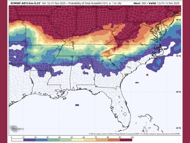
Snow rumors circulating on social media are greatly exaggerated. While microscopic ice grains or hexagonal snowflakes may occur in isolated pockets of higher terrain in northeastern Alabama or along the Tennessee Plateau, meteorologists emphasize:
- No accumulation is expected.
- Snow risk is extremely low.
These tiny ice crystals occasionally occur during fast-moving Arctic fronts, but they are not indicative of a widespread snow event.
Dangerous Cold Expected Sunday Into Monday
The main story will be the intensity and duration of the cold air mass behind the front.
Forecast cold impacts include:
- Feels-like temperatures in the 20s by Sunday afternoon
- Morning lows in the teens and 20s statewide by Monday
- 20 to 30 straight hours below freezing between Sunday and Monday
This level of prolonged cold is unusual for early December and may trigger cold-weather advisories for several counties.
County Breakdown: Hours Below Freezing
According to preliminary projections:
30–36 Hours Below Freezing:
Florence, Huntsville, Russellville, Fort Payne, Arab, Cullman
22–30 Hours Below Freezing:
Birmingham, Gadsden, Anniston, Tuscaloosa, Springville, Talladega
15+ Hours Below Freezing:
Montgomery, Selma, Auburn, Eutaw, Newbern
Residents across the northern half of the state should prepare for extended cold stress on homes, pets, vehicles, and outdoor plumbing.
Cold Air Could Influence Regional Weather Patterns
A broader look at national models shows a swath of snow potential across the Midwest and Great Lakes, but Alabama remains on the southern edge of that weather system. No significant winter precipitation is expected in the state. The major concern locally continues to be dangerous wind chills, hard freeze conditions, and risks to vulnerable individuals, livestock, and exposed pipes. Even if official county-level advisories are not issued, meteorologists agree that Sunday and Monday will bring dangerously cold conditions.
What Residents Should Do Now
- Prepare for hard freeze conditions
- Protect pets, plants, and pipes
- Check on elderly neighbors or those without reliable heat
- Expect wind chills well below actual temperatures
Stay Connected
How is this cold snap affecting your area? Share your experiences and local updates with us at SaludaStandard-Sentinel.com and help keep your community informed.