Alabama and Mississippi Caught in a Winter ‘Snow Hole’ as I-20 Corridor Misses Major Snowstorms Again
ALABAMA & MISSISSIPPI — While much of the Deep South has seen at least brief winter weather moments over the past two seasons, a frustrating pattern has emerged across parts of central Alabama and central Mississippi: repeated snow systems have passed nearby, but the core of accumulating snowfall has consistently missed the I-20 corridor, leaving communities stuck in what meteorologists are calling a growing “snow hole.”
Why Snow Keeps Missing Central Alabama and Mississippi
Meteorologists say this isn’t about long-term climate shifts or some permanent change — it’s largely bad timing and storm track luck. Most significant Southern snowstorms arrive when moisture moves in from the southwest, interacting with cold air already in place. Over the past two winters, that “bowling ball” of heavy precipitation simply hasn’t rolled down the right lane.
Instead, storms have tracked just north or south of key areas like Demopolis, Selma, Clanton, Greensboro, and Jackson, leaving a noticeable gap in measurable snowfall. The result is a donut-shaped zone with minimal accumulation, even while nearby regions record several inches.
A Look Back at Historic I-20 Snowstorms
This pattern stands in sharp contrast to memorable winters of the past. Longtime residents still recall impactful snow events in 1992, December 1997, March 2009, and December 2017, when storms aligned perfectly along I-20 and delivered widespread accumulation. Some of those events were manageable and even enjoyable, while others disrupted daily life for days.
The absence of similar systems in recent years makes the current stretch feel unusually quiet — even though winter storms have been active elsewhere across the South.
Recent Winters Show the Snow Gap Clearly
Snowfall maps from Winter 2025 and early 2026 show a stark divide: heavier snow north and east of the region, lighter or mixed precipitation to the south, and very little of substance directly over central Alabama and Mississippi. Meteorologists stress that this doesn’t mean snow is “avoiding” the area intentionally — just that the strongest dynamics haven’t overlapped in the right place.
What Comes Next as Winter Winds Down
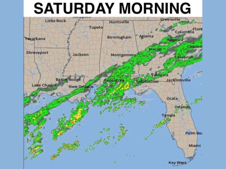
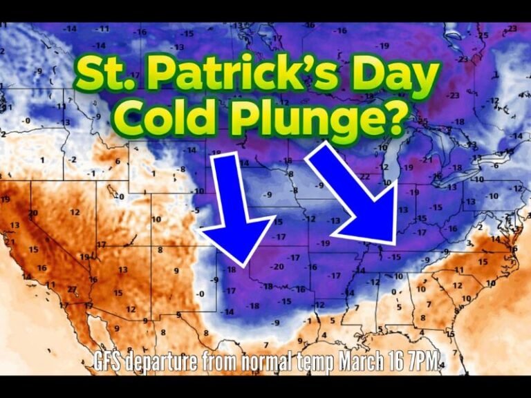
Looking ahead, forecasters expect a noticeable warm-up next week, bringing a temporary break from winter conditions. However, experts caution that winter is not officially over yet. Late-season systems in February or March can still produce snow, especially if colder air lingers while moisture surges north.
That said, there is currently no indication of snow, ice, or severe winter weather for at least the next week across Alabama and Mississippi. Any future snowfall opportunities would likely be light and limited, especially as ground temperatures continue to rise.
No Cause for Concern — Just Weather Reality
Forecasters emphasize that the atmosphere isn’t “targeting” the region, and residents shouldn’t be worried. Sometimes, winter simply doesn’t deliver a headline-making storm — and that’s okay. For now, the message is straightforward: no immediate winter threats, no disruptive snow on the horizon, and plenty of time to monitor how the rest of the season unfolds.
Weather patterns can change quickly, but for the moment, the Deep South’s snow hole remains intact. Stay with Saluda Standard-Sentinel for continued winter weather updates and regional forecasts as the season moves forward.


