Flood Risk Upgraded for Parts of Texas as Overnight Storms Threaten Heavy Rain and Flash Flooding
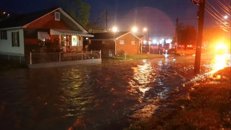
TEXAS — The National Weather Service has upgraded the flood risk for parts of Central and South Texas, warning that potentially significant flooding could develop overnight as a surge of moisture fuels intense rainfall.
The greatest threat zone includes areas between Del Rio, Kerrville, and Fredericksburg, where multiple rounds of heavy thunderstorms are expected to move through late Wednesday into early Thursday morning.
High Flood Risk Overnight
Forecasters say storms are expected to produce torrential rainfall rates, capable of quickly overwhelming creeks, low-water crossings, and small rivers.
“Flooding is very likely in spots, especially in low-lying and poor-drainage areas,” meteorologists said. “Residents should have a way to receive weather warnings while asleep.”
The latest model projections highlight the most concerning areas as:
- Del Rio and Ciudad Acuña region
- Rocksprings and Uvalde County
- Fredericksburg and Kerrville
- Boerne and New Braunfels
Rainfall totals could exceed 3 to 5 inches in localized spots, with isolated higher amounts where storms stall.
Residents Urged to Stay Alert Overnight
Officials emphasize that flash flooding remains the leading cause of weather-related deaths in Texas, urging residents to never drive through flooded roadways, especially at night when water depth is difficult to gauge.
“Turn around, don’t drown,” authorities reminded. “Just six inches of moving water can knock a person off their feet, and a foot of water can carry away most vehicles.”
Storm Timeline and Areas of Concern
- Wednesday Evening: Thunderstorms begin forming west of Del Rio and move northeast toward Kerrville and the Hill Country.
- Overnight Hours: Heaviest rainfall develops along a corridor from Del Rio to New Braunfels, expanding eastward.
- Thursday Morning: Showers begin tapering off, though isolated flooding may persist.
Preparedness Tips
Residents in flood-prone regions are encouraged to:
- Monitor weather alerts overnight using a NOAA Weather Radio or mobile alerts.
- Avoid driving on rural or low-water crossings after dark.
- Move vehicles and livestock to higher ground if flooding is expected.
- Have an emergency plan ready for rapid evacuation if needed.
Ongoing Threat Through Thursday
Forecasters note that the atmosphere remains primed for training storms, which occur when repeated rainfall develops over the same locations. Additional flood watches may be issued as the system continues eastward into Thursday afternoon.
Officials advise residents across Austin, San Antonio, and surrounding Hill Country communities to remain vigilant as additional rainfall could cause rapid rises in local waterways.
For continued weather alerts and safety updates, visit SaludaStandard-Sentinel.com.


