Forecast Models Hint at Possible Southern Snowfall Around November 28 as Unusual Weather Pattern Emerges
GEORGIA — It’s not even December yet, but some long-range forecast models are already showing signs of a potential Southern snowfall near November 28, sparking excitement — and skepticism — among meteorologists and residents across the Southeast.
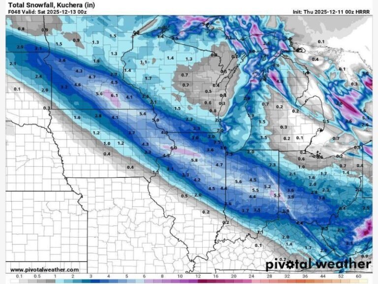
While experts caution that it’s far too early to make guarantees, the latest model runs show a streak of blue shades — symbolic of snow — stretching across parts of Alabama, Georgia, and the Carolinas, suggesting the possibility of an early-season winter surprise.
Forecast Models Signal a Shift
According to the Global Forecast System (GFS), a strong cold front paired with moisture from the Gulf could produce a mix of rain and light snow late next week, depending on how temperatures align in the upper atmosphere.
The colorful radar maps circulating online — dominated by shades of green, yellow, and hints of blue — have meteorologists both amused and intrigued.
“This is one of those times where the models might be losing their mind,” joked one forecaster. “The blue stuff — yes, snow — is showing up for November 28 like it accidentally clicked ‘book flight’ instead of ‘save for later.’”
The humorous take captures the mood among weather enthusiasts who remember past surprise storms that turned skeptical forecasts into major snow events.
Southern States on Alert — But Cautiously
Meteorologists stress that early snow signals in long-range models often change dramatically as the event approaches. Still, the trend has people from Mississippi to Georgia taking notice.
“When the models start painting the South blue, you pay attention,” one meteorologist wrote. “Because blue only shows up for two things: snow and pure chaos.”
If temperatures drop low enough, parts of northern Alabama, Georgia, and South Carolina could see brief snow flurries or even a light coating. Most forecasts still lean toward cold rain, but the setup is noteworthy for this time of year.
A Reminder of Last Winter’s Surprises
The latest buzz recalls early 2023, when a surprise snow system brought several inches of accumulation to parts of the South, leaving residents sledding in laundry baskets and dogs puzzled by the sudden chill.
“We had snowmen wearing shrimp boots last time,” one local joked online. “I’m not saying it’ll happen again, but I’m buying cocoa just in case.”
Experts Urge Patience and Preparedness
The National Weather Service and private forecasters are advising residents not to make immediate plans for snow, but to monitor updates as Thanksgiving weekend approaches.
Even if snowfall doesn’t materialize, forecasters expect a significant temperature drop across the region, ending what has been one of the warmest Novembers in recent years.
“This isn’t about hyping snow,” one forecaster noted. “It’s about watching a pattern that could bring an early taste of winter — and reminding everyone that the atmosphere loves surprises.”
Early Winter or Just Model Madness?
Whether the end of November brings flurries or just cold rain, the trend is a clear signal that winter weather is starting to stir across the South.
As one meteorologist summed it up: “Don’t panic, don’t start hoarding milk and bread — but maybe prepare your soul. Because when Mother Nature gets bored, things get interesting.”
Readers who experience early winter weather or snow sightings can share photos and local updates at SaludaStandard-Sentinel.com.