Sudden Stratospheric Warming Event Could Bring Colder, Snowier December Across the U.S.
UNITED STATES — Meteorologists are closely watching a developing Sudden Stratospheric Warming (SSW) event expected to occur during the second half of November, which could have major implications for U.S. weather patterns in December. Experts say the event may weaken the polar vortex, allowing Arctic and Siberian air to spill southward, potentially bringing a much colder and snowier December for large parts of the country.
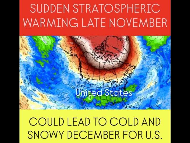
What Is Sudden Stratospheric Warming?
According to meteorologist Chris Nunley, an SSW happens when temperatures high in the stratosphere suddenly rise, disrupting the circulation around the North Pole. This disruption can cause the polar vortex — a band of strong westerly winds that typically keeps cold air trapped over the Arctic — to weaken or even split apart.
When this occurs, the cold Arctic air can escape and move southward into North America, Europe, and Asia. “It’s one of the main drivers behind major cold outbreaks in the U.S.,” Nunley explained.
Possible U.S. Weather Impacts in December
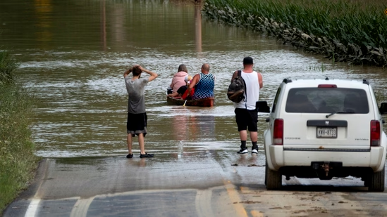
Forecast models suggest that if the current stratospheric warming trend continues, the first widespread Arctic air push could arrive in early to mid-December. The northern and central U.S., including parts of the Midwest, Great Plains, and Northeast, may experience below-normal temperatures and increased snowfall potential.
Meteorologists emphasize that while not every SSW leads to severe cold, this event appears strong enough to disrupt normal jet stream patterns, increasing the risk of prolonged cold spells and winter storm activity across the nation.
Early Indicators of a Pattern Shift
Weather agencies across the U.S. are already tracking changes in the upper-level wind flow, which indicate a developing warming trend in the stratosphere above the Arctic Circle. These patterns often precede shifts in surface weather by two to four weeks, meaning the impacts could be felt as soon as the first week of December.
Regions in the Pacific Northwest, Great Lakes, and Appalachians may see the earliest snow events if the colder air mass deepens and interacts with incoming storm systems.
Experts Urge Residents to Prepare for Possible Winter Surge
Meteorologists are advising residents to stay updated as the forecast evolves. While long-range outlooks are not exact, the possibility of a colder, snowier December is now higher than average.
“This setup doesn’t guarantee record-breaking cold,” Nunley noted, “but it does raise the likelihood of a more active winter pattern across much of the continental U.S.”
Looking Ahead
If the polar vortex weakens significantly, cold air could persist into January — a pattern similar to notable winters in 2014 and 2021, when Arctic air plunged deep into the southern U.S.
Residents are encouraged to winterize homes, prepare emergency supplies, and follow regional forecasts for upcoming storm advisories.
Do you think your region is ready for a colder-than-normal December? Share your experiences and preparedness tips with us at SaludaStandard-Sentinel.com.