Heavy Tropical Rain Isolated Tornadoes and Coastal Flooding Threaten South Carolina as Post-Tropical Arthur Surges Northeast Through Friday
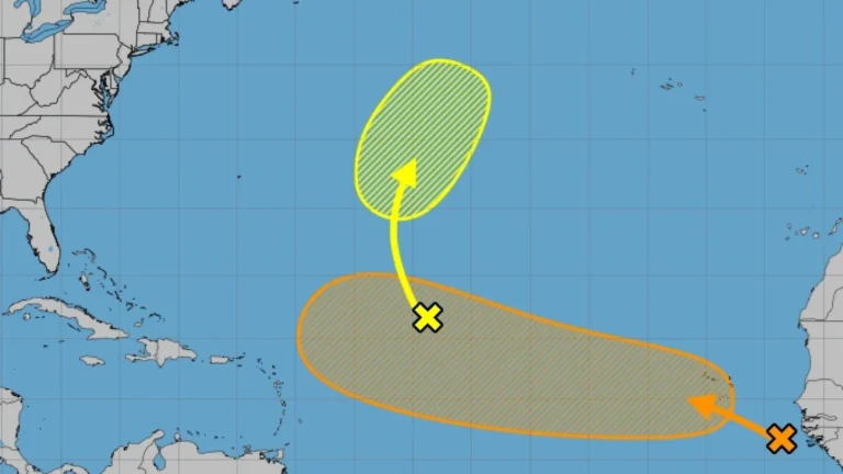
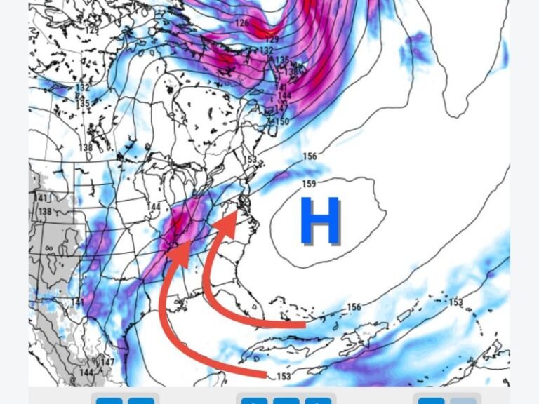
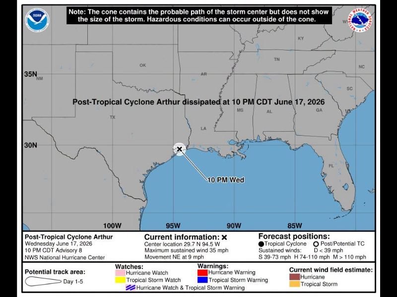
COLUMBIA, SC — Post-Tropical Cyclone Arthur, which dissipated as a tropical system at 10 PM CDT Wednesday June 17, is delivering its most significant impacts to South Carolina as tropical moisture streams northeast and collides with an approaching cold front, setting the stage for a dangerous multi-hazard weather event through Friday.
A Heavy Moisture Surge Moving In
Although Arthur has lost its tropical designation, the system continues to haul an enormous amount of atmospheric moisture directly into the Palmetto State. Thursday daytime conditions remain warm and humid with highs climbing into the low 90s and a heat index approaching 100°F.
Wind gusts of 20 to 35 mph are expected to develop ahead of the main rain shield, with only isolated pop-up showers during daylight hours before the primary band arrives overnight.
Peak Impacts Overnight Into Friday Morning
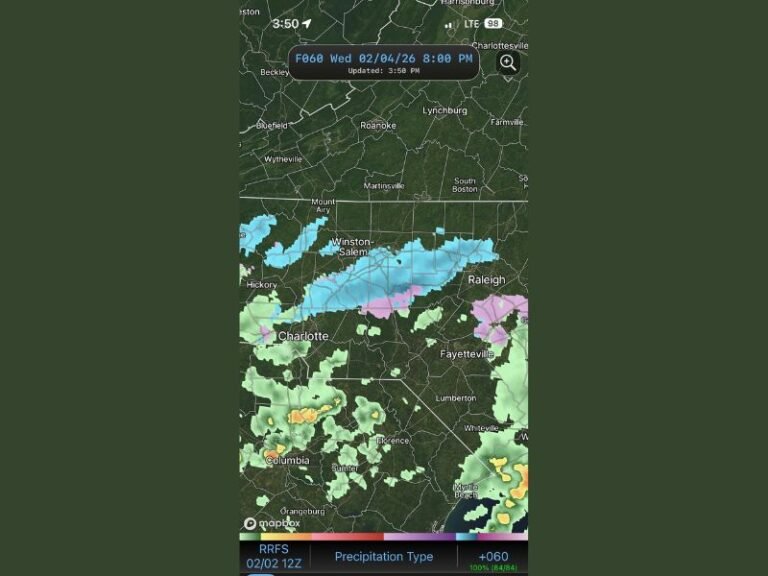
The heaviest rain is expected to push into the Upstate and western Midlands between midnight and 4 AM Friday, with widespread heavy tropical downpours developing rapidly. The Midlands, including Columbia, Lexington, and Sumter, will see the most intense activity during the Friday morning commute.
Standing water on roads is a near certainty, and isolated flash flooding is possible in low-lying and poor-drainage areas. Strong southwest winds gusting 30 to 35 mph will accompany the heaviest bands.
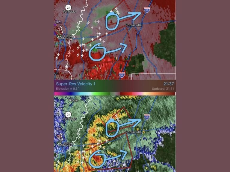
Tornado and Coastal Threats Cannot Be Dismissed
A brief, isolated tornado cannot be ruled out as rotating cells develop within the tropical rain bands, particularly across the Midlands and coastal zones. The Coast faces an enhanced risk for low-end severe weather embedded in the tropical banding, along with high surf and strong rip currents.
Minor tidal flooding driven by persistent onshore flow is also expected across low-lying coastal areas. Residents in coastal counties should monitor active alerts and remain weather-aware through Friday morning.
Rainfall Totals and Weekend Recovery
Statewide rainfall totals are expected to range from 1.0 to 2.0 inches, with localized areas receiving over 3.0 inches where storm bands train repeatedly. The Pee Dee region will see rain linger into Friday afternoon, with totals of 1 to 2 inches likely.
The cold front then aggressively sweeps the system offshore Friday evening, clearing skies ahead of a dry Father’s Day weekend across South Carolina.
For continuing coverage of tropical systems and severe weather impacts across the United States, visit SaludaStandard-Sentinel.com.