Heat and Humidity Surge Across the Illinois Wisconsin Stateline Tuesday With Temperatures Hitting 88 Degrees and Stronger Storms Possible After Midnight
ROCKFORD, IL — A warm and increasingly humid Tuesday is underway across the Illinois-Wisconsin Stateline on June 9, with early morning clouds giving way to sunshine through the day as temperatures climb from the mid-60s at dawn to the upper 80s by early evening — and forecasters keeping a close eye on the potential for stronger storms developing after midnight.
Morning to Afternoon Warmup
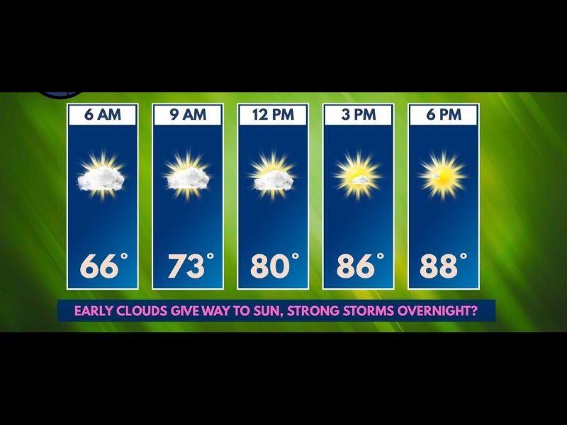
The day begins at a relatively comfortable 66°F at 6 a.m. with lingering cloudiness from Monday’s beneficial rain still in place across the Stateline. Any leftover showers from overnight are expected to dissipate within the first hour or two of the morning, giving way to dry conditions for the vast majority of the day.
By 9 a.m. temperatures reach 73°F as clouds begin breaking, climbing further to 80°F by noon under a mix of clouds and emerging sunshine. The afternoon hours bring the day’s peak heating, with temperatures reaching 86°F by 3 p.m. and 88°F by 6 p.m. as full sunshine takes hold across the region.
The Heat Index Concern
While air temperatures top out near 88 to 90°F, the combination of rising moisture through the day will push heat index values noticeably higher. Forecasters indicate the afternoon will feel closer to 93 to 95°F once humidity is factored in — a meaningful difference that elevates the risk of heat-related illness for anyone spending extended time outdoors during peak afternoon hours.
Residents should stay hydrated, limit strenuous outdoor activity between noon and 6 p.m., and check on vulnerable family members and neighbors through the afternoon.
Overnight Storm Threat
After a largely dry and sunny daytime, the weather pattern turns more unsettled after midnight Tuesday night. Forecasters are monitoring the potential for stronger storms to develop late, particularly after the midnight hour, as atmospheric instability builds overnight ahead of the midweek severe weather setup already being tracked across the broader region.
Residents should keep weather alerts active on their devices overnight and be prepared to act quickly if warnings are issued after midnight.
What Wednesday Brings
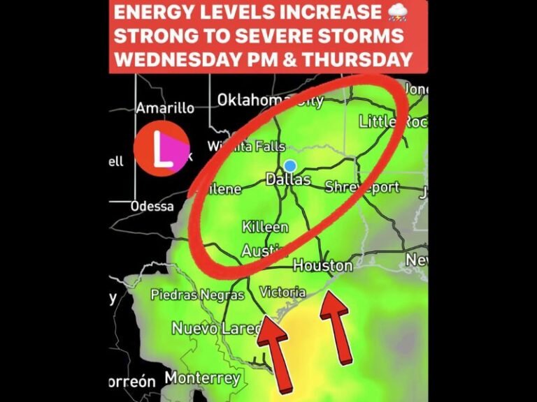
Tuesday’s heat and humidity surge serves as the opening act for a more significant severe weather pattern expected to develop Wednesday and Thursday across the Stateline region, making this an important week to stay weather-aware around the clock.
For continuing coverage of Stateline weather and developing storm threats across the United States, visit SaludaStandard-Sentinel.com.