Thunderstorms and Heavy Rain Strike Seattle and Western Washington This Weekend Before Potential Historic Heat Wave Targets the Pacific Northwest Around June 15
SEATTLE, WA — Western Washington is facing a dramatic weather whiplash over the coming two weeks, with a powerful Gulf of Alaska low pressure system delivering scattered showers Friday and widespread thunderstorms Saturday before a potential historic heat wave driven by a strong ridge of high pressure threatens to push temperatures approximately 25 degrees above normal across the Pacific Northwest around the June 15 timeframe.
Friday Brings Showers With Low Thunderstorm Risk
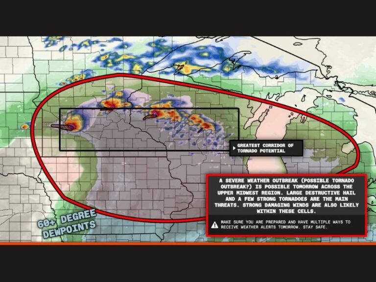
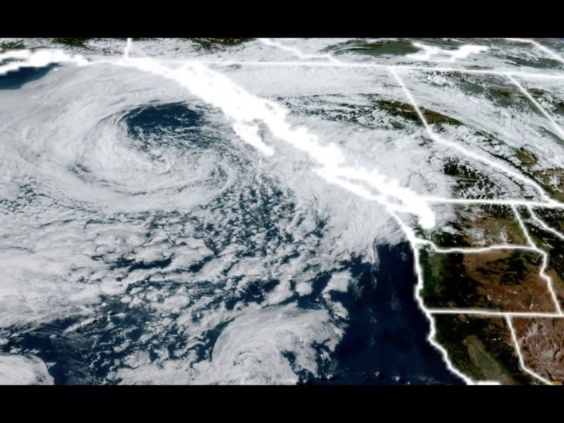
The approaching Gulf of Alaska low pressure system, clearly visible on satellite imagery as a large and well-organized spiral of cloud cover positioned offshore and tracking toward the Pacific Northwest coastline, will brush close enough to Western Washington on Friday to deliver scattered afternoon showers across the region with highs staying in the low 60s.
A low risk of thunderstorms exists Friday afternoon primarily across the Northwest Interior and Olympic Peninsula areas where instability may be sufficient to support convective development, though the Puget Sound and Seattle metro area are expected to see mainly shower activity rather than organized thunderstorm coverage during the Friday timeframe.
Saturday is the Main Weather Concern
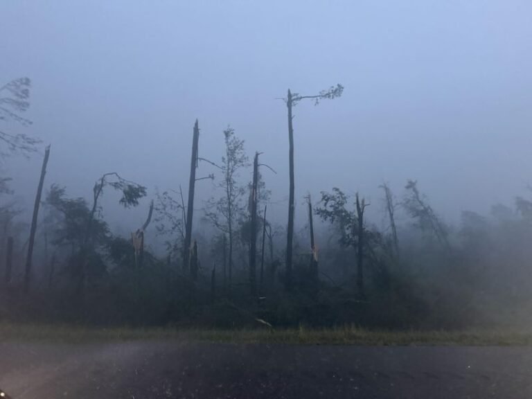
Saturday represents the most active and potentially disruptive weather day of the weekend as the Gulf of Alaska low pressure center slides directly over western Washington, delivering cool and unstable air that forecasters expect to trigger scattered thunderstorms across virtually all areas of the region including Seattle and the Puget Sound corridor.
Thunderstorms could begin developing as early as late Saturday morning and persist well into the evening hours, with storms moving generally from west to east meaning the western horizons are the areas to watch for approaching activity. Any storms that develop could produce bursts of heavy rain, gusty winds, and small hail while highs struggle to reach only the mid to upper 50s across the region.
Heat Wave Potentially Coming Around June 15
After a brief drier interlude on Sunday and a fresh round of showers and slight thunderstorm risk Monday through early Wednesday, European model guidance is signaling a dramatically different pattern developing around the June 15 timeframe that has forecasters paying close attention.
A strong ridge of high pressure is indicated to build into the Pacific Northwest around mid June with initial model runs depicting a heated air mass running approximately 25 degrees above normal for the period, which would translate into high temperatures potentially reaching the mid to upper 90s across the Seattle area given that average mid June highs sit in the low 70s.
For continuing coverage of Pacific Northwest weather and heat wave threats across the United States, visit SaludaStandard-Sentinel.com.