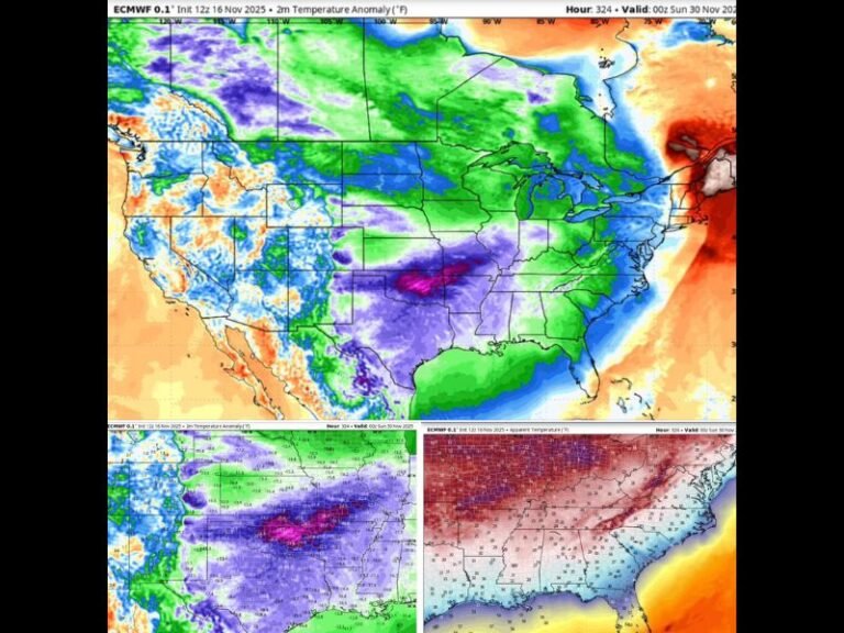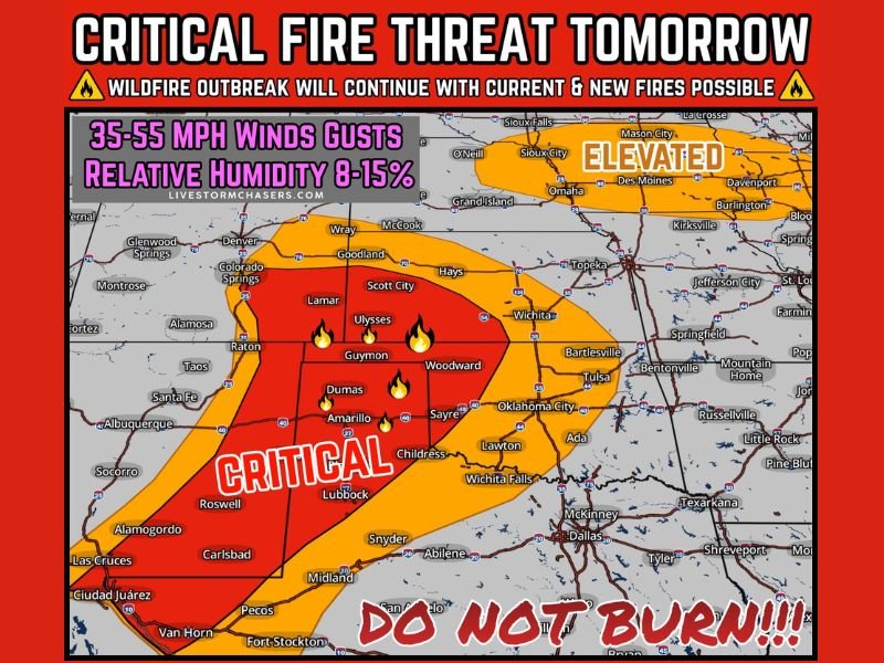
Texas, Oklahoma, New Mexico, and Kansas Face Critical Wildfire Conditions Again as 55 MPH Gusts and 8–15% Humidity Return
UNITED STATES — A dangerous wildfire setup is expected to continue into tomorrow across the Southern High Plains, where ongoing fires and extremely dry air could set the stage for new fast-spreading wildfires. While conditions may not be quite as extreme as today in some spots, the risk remains critical in many of the same areas still dealing with active fire activity tonight—especially where strong winds, low humidity, and dry fuels overlap.
Where the Highest Fire Risk Is Concentrated
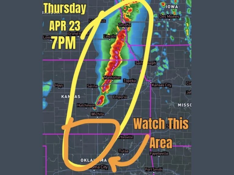
The most concerning zone is marked as “CRITICAL” across parts of West Texas and the Texas Panhandle, stretching into portions of western Oklahoma and into nearby areas of eastern New Mexico and the southern High Plains region. In these areas, any spark can become a wind-driven fire in minutes—particularly in open grassland and brush country.
A broader “ELEVATED” fire danger zone also extends farther north into the central Plains and Midwest, with fire-friendly air pushing into Iowa and Illinois, where breezy winds and dry conditions could make grass fires harder to control.
Why Tomorrow Still Has “Outbreak” Potential
The forecast highlights a volatile combination: wind gusts around 35–55 mph and relative humidity as low as 8–15%. That mix is notorious for rapid fire growth because flames spread faster, embers travel farther, and containment lines can fail quickly when winds shift or suddenly intensify.
The warning also emphasizes that an outbreak of new wildfires is possible if ignition sources occur—such as power line issues, sparks from equipment, trailer chains dragging, or careless outdoor activity. Even if winds run 20–30 mph lower than today in some locations, gusts near 40 mph are still more than enough to spread fires aggressively.
What Residents Should Avoid Right Now
Fire officials typically urge people in critical zones to treat tomorrow like a no-mistakes day. That means avoiding anything that can produce sparks or open flame, including debris burning, welding outdoors, dragging chains, parking on dry grass, or using equipment that can overheat and throw embers.
What to Watch For Next
If the strongest winds align with the driest air during peak afternoon heating, conditions could deteriorate quickly. Residents in at-risk areas should stay alert for local burn bans, fire weather alerts, and rapid evacuation notices if nearby fires expand.
What are conditions like where you live—strong winds, smoke, or active fires nearby? Share what you’re seeing and follow ongoing updates at SaludaStandard-Sentinel.com.