New York, New Jersey, Pennsylvania, Virginia, and North Carolina Face Growing Threat of High-Impact Nor’easter and Arctic Blast
UNITED STATES — Confidence is increasing among meteorologists that another Arctic blast of cold air could combine with a developing coastal storm to bring a high-impact winter event to the Eastern United States late this week into early next week. Forecast models now suggest this system could take the form of a powerful Nor’easter, depending heavily on its final track.
Arctic Air Sets the Stage Across the Eastern U.S.
Weather models indicate cold Arctic air will already be in place across much of the eastern half of the country as the system develops. This cold air mass increases the risk for heavy snow, dangerous wind chills, and rapid deterioration of travel conditions.
Meteorologists note that when Arctic air is firmly established ahead of a coastal storm, even small shifts in storm track can dramatically increase impacts.
Coastal Track Will Determine Severity
Forecasters are closely watching two possible scenarios, both of which carry risks.
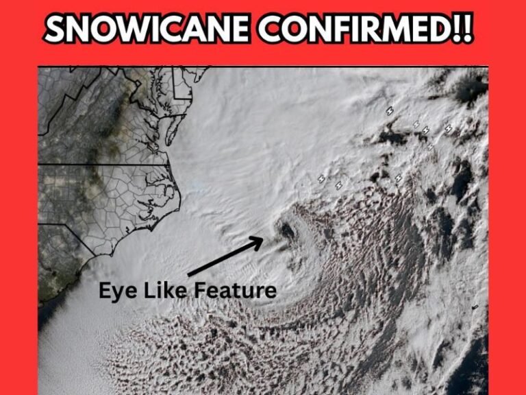
If the developing low-pressure system tracks closer to the East Coast, impacts would be significantly higher. This scenario could bring strong damaging winds, blizzard conditions, heavy snowfall, coastal flooding, and storm surge, especially for New Jersey, New York, and coastal New England.
If the storm tracks farther offshore, impacts would be reduced for some areas. However, even in this case, the Carolinas could still see heavy snow, beach erosion, and dangerous marine conditions, particularly along the Outer Banks and Virginia coastline.
Heavy Snow and Wind Remain Key Threats
Model guidance shows bands of heavy snow possible along the Interstate 95 corridor, with strong winds capable of producing near-whiteout conditions in heavier bands. Arctic high pressure to the west could enhance wind speeds, increasing the risk of power outages and tree damage.
Forecasters caution that exact snowfall totals and impact zones remain uncertain, but overall confidence is growing that this will not be a minor winter event.
Forecast Uncertainty Still Exists
Despite increasing confidence, meteorologists emphasize that exact details are not locked in yet. Nor’easters are notoriously sensitive to timing, jet stream positioning, and ocean interaction.
Small changes over the next few days could determine whether this becomes a major East Coast winter storm or a more limited event.
What Residents Should Do Now
Residents across the East Coast are encouraged to monitor updated forecasts closely, review winter safety plans, and prepare for the possibility of hazardous travel, power disruptions, and extreme cold.
Preparation now can reduce risk if conditions worsen rapidly.
What are you expecting from this potential storm — another major Nor’easter, or a close call? Share your thoughts and stay informed with continued coverage at SaludaStandard-Sentinel.com.