Rare Snow Tornado Spotted Near Payne Springs, Texas as Unstable Winter Storm Produces “Snownado” Reports Across the South
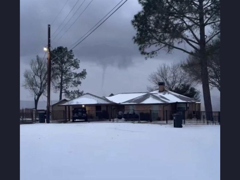
PAYNE SPRINGS, TEXAS — A rare and startling weather phenomenon unfolded early this morning as a snow tornado, commonly referred to as a “snownado,” was observed near Payne Springs in eastern Texas, amid an intense and unstable winter storm system. The unusual funnel appeared while snow covered the ground, stunning residents and drawing attention from weather observers across the region.
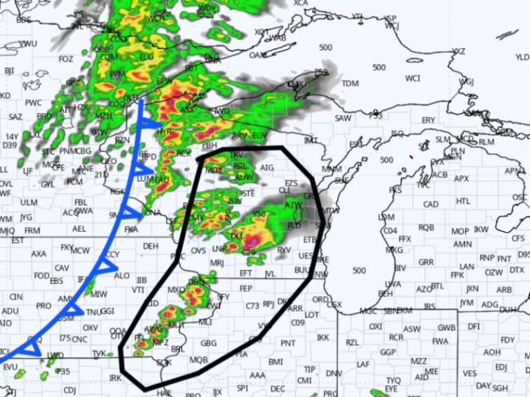
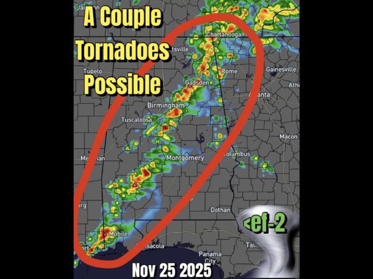
Reports indicate this was not an isolated event. Similar sightings were reported across Texas, Oklahoma, and Alabama over the past 24 hours, highlighting just how volatile and unpredictable this winter storm has become.
What Exactly Is a Snow Tornado?
A snow tornado is not a traditional tornado like those seen during spring severe weather outbreaks. Instead, it forms when rising pockets of warmer air become stretched upward inside strong winter storm updrafts, creating a narrow rotating funnel.
Meteorologists compare the process to a waterspout, but instead of forming over water, these funnels develop over snow-covered ground during intense winter instability. While typically weaker than standard tornadoes, snow tornadoes can still produce localized gusty winds and brief surface impacts.
Why This Winter Storm Is Producing Rare Phenomena
This winter system has been marked by sharp temperature contrasts, strong upper-level energy, and persistent lift — a combination rarely seen during snow events in the southern United States. Cold air at the surface paired with slightly warmer air aloft created the perfect environment for rotation to briefly develop.
Experts note that the same storm system has already produced heavy snow, sleet, freezing rain, and strong wind gusts, and continues to throw unexpected curveballs as it moves east.
Areas Reporting Similar “Snownado” Activity
Beyond Payne Springs, weather observers received reports of similar rotating snow funnels across:
- North and East Texas
- Central and Southern Oklahoma
- Parts of Alabama
While no injuries or structural damage have been confirmed, officials stress that any rotating funnel — regardless of strength — should be taken seriously, especially when visibility is reduced by snowfall.
Safety Concerns and Ongoing Monitoring
Even weak snow tornadoes can pose risks, particularly due to sudden wind shifts, falling branches, and near-zero visibility. Authorities urge residents to remain indoors during active snowfall and avoid unnecessary travel as the storm continues.
Weather agencies are continuing to monitor the system closely, warning that additional rare winter weather phenomena could still develop before conditions stabilize.
What Comes Next
Forecasters expect the storm to gradually weaken as it moves east, but lingering cold air and unstable conditions may persist into the next 24 hours. Residents across the affected states are advised to stay alert, follow local advisories, and prepare for rapidly changing weather.
Have you ever witnessed a rare winter weather event like this? Share your experience and stay updated with breaking weather coverage by joining the conversation at SaludaStandard-Sentinel.com.