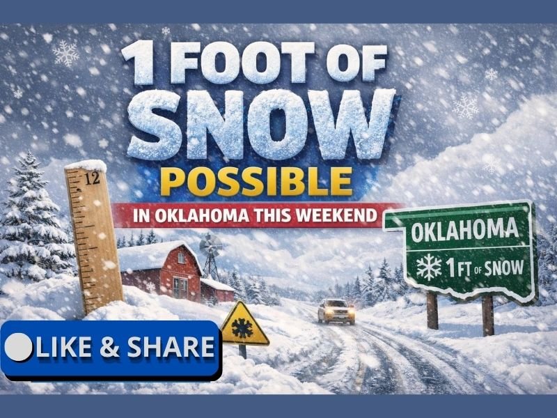
Oklahoma Faces High-End Winter Storm Threat as Models Signal Up to a Foot of Snow Possible Between I-44 and I-40 This Weekend
OKLAHOMA — Meteorologists are warning that parts of Oklahoma could see significant snowfall this weekend, with some locations potentially approaching one foot of accumulation, especially in a corridor between Interstate 44 and Interstate 40, where confidence is currently highest.
High-End Snow Potential Emerging Across Central Oklahoma
Latest forecast guidance shows a strengthening signal for a high-impact winter storm capable of producing heavy, long-duration snowfall across portions of the state. While exact totals are still subject to change, meteorologists say the probability of double-digit snowfall is increasing, particularly in central Oklahoma.
The setup involves deep cold air already in place combined with a moisture-rich storm system, a pattern that favors efficient snow production rather than mixed precipitation.
I-44 to I-40 Corridor Most At Risk
Current projections indicate the highest risk zone lies between I-44 and I-40, which includes several major population centers and critical transportation routes. Snowfall rates in this corridor could be intense at times, allowing accumulations to pile up quickly.
If snowfall reaches the upper end of projections, travel could become nearly impossible, with long stretches of highway impacted and emergency response times delayed.
Why a Foot of Snow Is Plausible in This Setup
Meteorologists note that this system has the potential to stall or slow, increasing the duration of snowfall. When paired with cold temperatures that keep snow ratios favorable, totals can climb rapidly even without extreme precipitation rates.
This type of storm does not require constant heavy snow to reach high totals — steady moderate snow over many hours can be just as disruptive, especially across Oklahoma where snow removal resources are limited.
Major Travel and Infrastructure Impacts Possible
Snowfall approaching a foot would be crippling for much of Oklahoma, leading to widespread road closures, stranded vehicles, and potential power disruptions if snow loads combine with wind.
Bridges, overpasses, and rural highways would become hazardous early in the event, and conditions may not improve until well after snowfall ends.
Forecast Confidence Increasing, Details Still Evolving
While forecasters caution that precise placement of the heaviest snow band may still shift, confidence is growing that Oklahoma will be a core impact zone in this weekend’s winter storm. Residents are urged to focus on impact potential rather than exact numbers, as even lower-end outcomes would still bring significant disruption.
Residents Encouraged to Prepare Ahead of the Weekend
Oklahomans are advised to begin preparations now, including adjusting travel plans, stocking food and medications, ensuring vehicles are winter-ready, and checking heating systems. Meteorologists stress that early preparation helps reduce risk and stress if conditions deteriorate rapidly once snowfall begins.
If you live along or between I-44 and I-40, how are you preparing for the possibility of heavy snow this weekend? Share your plans and local conditions with the SaludaStandard-Sentinel.com community.