Coldest Arctic Air of the Season Poised to Surge Into the Plains and Rockies Thursday Night, Bringing Single-Digit Highs and Possible Snow
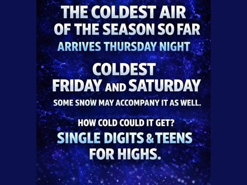
COLORADO AND THE CENTRAL PLAINS — Forecasters are increasingly confident that the coldest Arctic air of the season so far will plunge southward beginning Thursday night, setting up dangerously cold conditions Friday and Saturday across the eastern Plains, Front Range, and surrounding regions.
Arctic Air Surge Expected to Peak Friday and Saturday
Meteorologists say this incoming air mass originates from deep northern latitudes and will deliver the coldest temperatures seen so far this season. The most intense cold is expected during the day Friday and Saturday, when high temperatures may struggle to climb out of the single digits in parts of the eastern Plains, with teens more common closer to the Front Range and foothills.
Unlike typical cold fronts, Arctic air is shallow and dense, allowing it to spill south rapidly and pool near the surface, often producing colder conditions than models initially suggest.
Why Forecast Models Often Underestimate Arctic Cold
Historically, weather models tend to underperform with Arctic air masses, particularly when it comes to how cold temperatures can actually become. These shallow air masses are notoriously difficult to model, especially when terrain plays a role.
Forecasters note that mountain areas may actually end up warmer than the Plains, as dense Arctic air struggles to rise over the Continental Divide, allowing milder air to linger at higher elevations while bitter cold settles in lower elevations.
Single-Digit Highs Possible Across the Eastern Plains
There is a growing signal that some areas may not escape single-digit highs, especially east of the Front Range. Wind chills could make conditions feel even colder, increasing the risk of cold-related health issues, especially for those spending extended time outdoors.
Officials urge residents to prepare for dangerously cold mornings, frozen pipes, vehicle issues, and increased heating demand during this period.
Chance of Snow as Subtropical Jet Becomes Active
While extreme cold is the primary concern, some snow is also possible as Arctic air interacts with a reviving subtropical jet stream. This jet has been largely inactive for much of the winter, but recent changes suggest it could finally contribute moisture.
At this time, most meaningful snowfall impacts may remain south and east of the core cold, but forecasters caution that this is far from guaranteed. Even light snow combined with intense cold can significantly worsen travel and outdoor conditions.
Timing and Impacts Still Being Monitored Closely
While confidence is high in the arrival of the cold air, exact temperatures and snowfall placement remain uncertain. Small shifts in timing or atmospheric interaction could significantly change impacts from one area to another.
Meteorologists stress that this setup has their full attention, and updates are expected as higher-resolution data becomes available closer to the event. If you live in an area prone to extreme cold, how are you preparing for the coldest air of the season so far? Share your thoughts and experiences with the SaludaStandard-Sentinel.com community.