Prolonged Arctic Storm Threat Emerges as Frozen Precipitation Targets the Southeast and Mid-Atlantic Through the Weekend
SOUTHERN UNITED STATES — A developing winter storm pattern is drawing increased concern from meteorologists as models continue to agree on a long-duration Arctic-driven system that could impact large portions of the Southeast and Mid-Atlantic beginning Friday night and lasting into Sunday.
A Rare and Concerning Long-Duration Setup
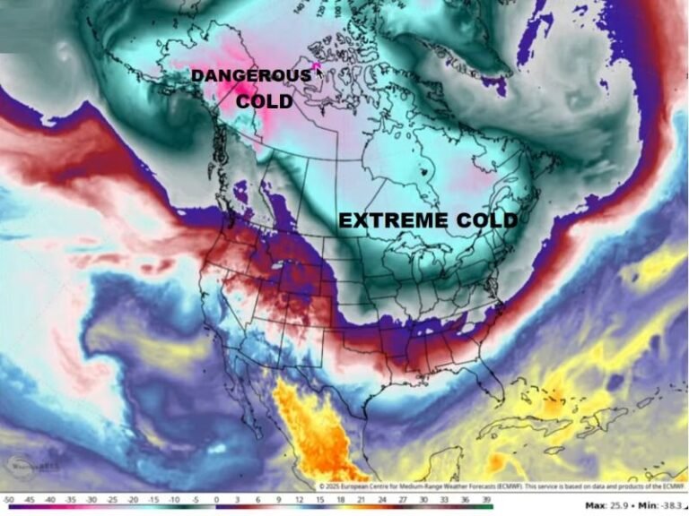
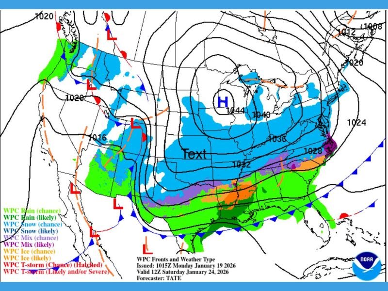
Forecast guidance shows a massive Arctic high pressure system pushing south while a moisture-rich Gulf Coast storm moves eastward. This interaction is particularly concerning because it favors extended periods of frozen precipitation, rather than a short-lived winter event.
Meteorologists stress that storm duration is the biggest red flag. Frozen precipitation lasting well into the weekend significantly increases the risk of ice accumulation, hazardous travel, and infrastructure damage, especially across regions that rarely experience prolonged winter weather.
Ice, Snow, and Dangerous Travel Conditions Likely
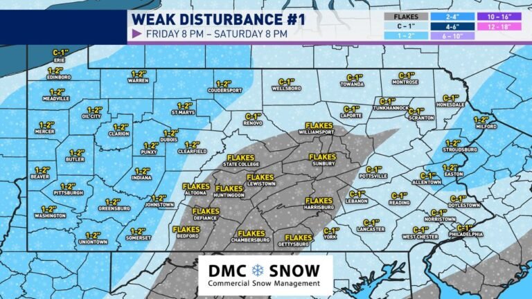
The forecast indicates a broad transition zone where snow, sleet, and freezing rain may overlap. Areas north of the storm track are more likely to experience snow, while regions closer to the Gulf moisture plume face a higher risk of significant icing.
Even light ice accumulation can lead to treacherous roads, fallen tree limbs, and impassable bridges. With precipitation potentially continuing for more than 24 hours in some locations, officials warn that travel may become extremely limited or impossible, particularly overnight.
Strong Winds Increase Power Outage Risk
In addition to frozen precipitation, strong and gusty winds are expected as pressure gradients tighten between the Arctic high and the developing storm system. This combination dramatically raises the likelihood of power outages, especially where ice coats trees and power lines.
Emergency managers note that ice combined with wind often causes more disruption than snow alone, particularly in the Southeast and southern Mid-Atlantic where power infrastructure is less winter-hardened.
Why Confidence Is Increasing but Exact Details Remain Unclear
Multiple major weather models remain in strong agreement on the overall storm pattern, boosting confidence that a high-impact winter event is likely. However, meteorologists caution that exact timing, precipitation types, and accumulation amounts are still uncertain.
Small changes in temperature profiles or storm track could shift areas from snow to ice, making precise forecasts difficult this far out. Residents are advised to prepare for disruptions rather than focusing on exact totals.
Preparation Urged Before Conditions Deteriorate
Officials urge residents across potentially affected states to prepare now, including limiting weekend travel plans, checking emergency supplies, and ensuring phones and backup power options are ready. Forecasters also emphasize avoiding misleading or exaggerated weather information, noting that accurate updates will be critical as the storm evolves.
As new data becomes available, additional advisories and updates are expected ahead of the weekend. If your area is prone to winter power outages or icy road conditions, how are you preparing for this potential storm? Share your thoughts and experiences with the SaludaStandard-Sentinel.com community.