Great Lakes Set for Prolonged Winter Pattern With Multiple Clipper Systems, Widespread Snow, and Temperatures Falling Into the Teens
GREAT LAKES REGION — A renewed winter weather pattern is set to take hold across the Great Lakes beginning midweek, bringing repeated shots of cold air and frequent snow as the region moves into the second half of January. Forecasters say the shift marks a clear end to the recent mid-winter break and signals a sustained return to winter conditions.
Cold and Snowy Pattern Locks Back In
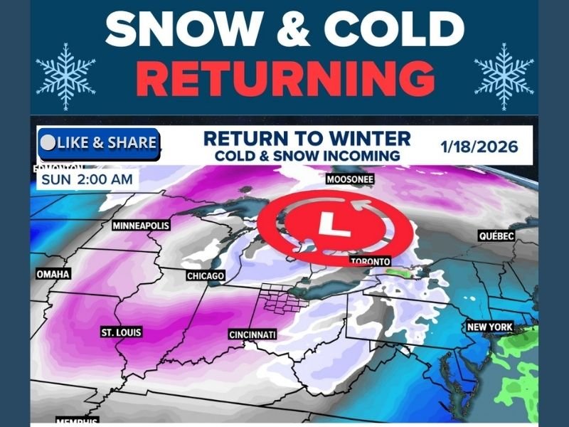
Meteorologists indicate that a series of fast-moving clipper systems will begin impacting the region starting Wednesday. These systems are expected to build on one another, reinforcing cold air and allowing snow cover to expand across much of the Great Lakes basin. By early next week, daytime highs may struggle to climb out of the teens in some areas, particularly where snowpack becomes established.
This pattern closely resembles conditions experienced in early December, when frequent light-to-moderate snow events and persistent cold dominated the region for days at a time.
No Major Blizzards, But Snow Adds Up
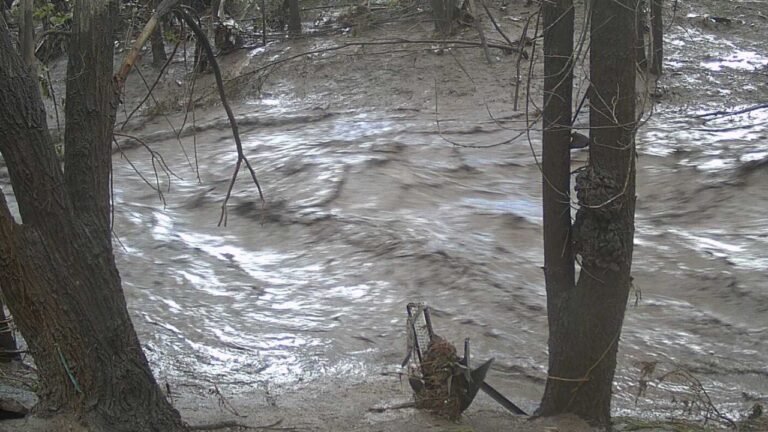
While no single storm appears poised to deliver a blockbuster snowfall in the immediate forecast window, the cumulative impact of repeated snow events could be significant. Clipper systems are known for producing quick bursts of snow that, over time, lead to widespread accumulations and hazardous travel conditions. Forecasters emphasize that the concern is not one major storm, but rather consistent snowfall combined with colder temperatures, which can make snow removal more difficult and allow icy conditions to linger.
Great Lakes Region in the Crosshairs
Forecast maps show the core of the colder air centered over the Great Lakes, with snow extending into parts of the Midwest and Ohio Valley. Areas near and downwind of the lakes could see enhanced snowfall, especially as cold air passes over relatively warmer lake waters.
Cities including Chicago, Cleveland, Detroit, and surrounding communities should prepare for frequent winter travel disruptions, especially during morning and evening commutes.
Winter Makes a Strong Second-Half Comeback
Meteorologists say this pattern is expected to persist through at least the latter half of the month. While short-lived breaks are possible, the overall setup favors continued cold shots and periodic snow, keeping winter firmly in place.
Residents are encouraged to review winter preparedness plans, ensure vehicles are equipped for snow and cold, and stay alert for updated forecasts as conditions evolve.
What are you seeing in your area as winter makes its return? Share your local conditions and experiences with cold and snow by joining the conversation at SaludaStandard-Sentinel.com.