South Carolina and North Carolina Brace for Powerful Wintry Blast as Wind Chills Plunge Below Zero in the Mountains
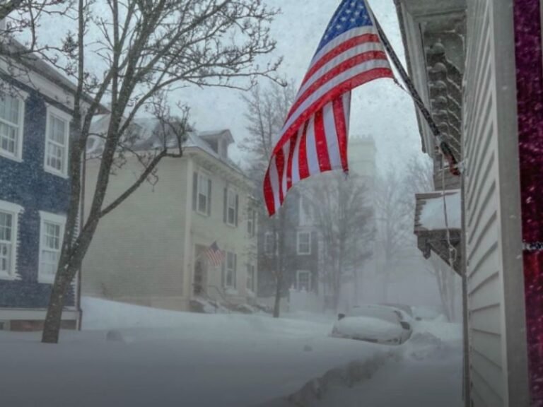
SOUTH CAROLINA / NORTH CAROLINA — A sharp wintry blast is expected to sweep across the Carolinas on Thursday, bringing very strong winds, bitterly cold air, and scattered snow showers, especially in the mountains and higher elevations. While this system is not expected to produce a widespread major snowstorm, forecasters warn that dangerous wind chills and localized accumulations could still have significant impacts.
The coldest conditions are expected to peak late Thursday into early Friday morning.
Strong Winds and Dangerous Wind Chills Take Center Stage
This system will be wind-driven, with gusty conditions dramatically lowering how cold it feels. Forecast data indicates feels-like temperatures dropping below zero in the North Carolina mountains, while much of the South Carolina Upstate could see wind chills falling into the teens. Even areas that do not receive snow may experience hazardous cold exposure, especially during the overnight and early morning hours.
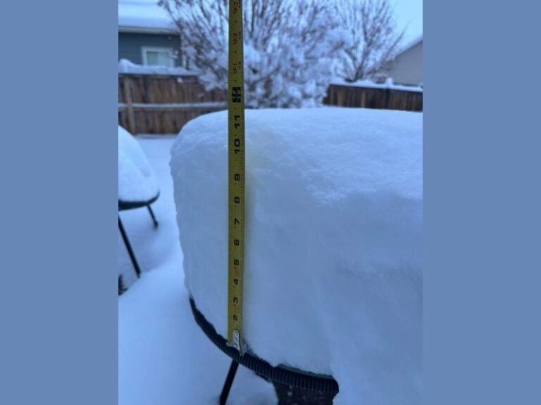
Snow Showers Likely at Higher Elevations
With ample upper-level energy moving through the region, snow showers are expected to develop, particularly across mountain communities and ridgelines. These setups typically lack deep moisture, meaning snowfall will be scattered rather than widespread.
However, meaningful accumulations remain possible in the mountains, where colder temperatures and elevation favor snow sticking to the ground.
Why This Is Not a Major Snowstorm
Meteorologists note that this type of Arctic-driven system is moisture-starved, limiting the potential for heavy, widespread snowfall. Instead, the primary impact will be cold and wind, not snow totals. That said, brief bursts of snow combined with strong winds could still reduce visibility and create slick spots, especially in higher terrain.
Upstate and Mountain Impacts Expected to Be Highest
The South Carolina Upstate and western North Carolina mountains are expected to feel the brunt of this system. Residents in these areas should prepare for very cold conditions, blowing snow in spots, and rapidly changing weather. Lower elevations will still turn colder but may avoid snow altogether, with wind chill remaining the main concern.
More Updates Expected as Timing Sharpens
Forecasters caution that details will continue to sharpen as the system approaches. Small changes in track or intensity could influence where snow showers develop and how cold wind chills become.
Residents are encouraged to monitor updated forecasts, limit prolonged outdoor exposure, and take precautions to protect pets, plants, and exposed plumbing.
How is winter shaping up where you live? Share your experience and stay connected with ongoing regional weather coverage from SaludaStandard-Sentinel.com, your source for timely South Carolina and Carolina-region updates.