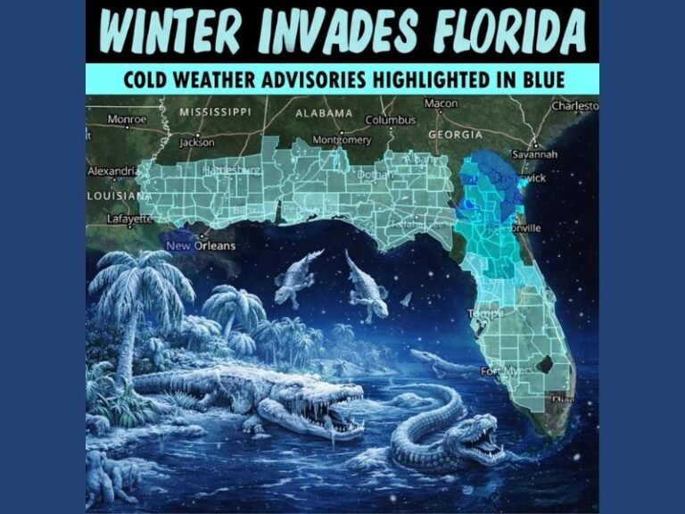
Texas, Louisiana, Mississippi, Alabama, and Florida Coastlines Show Early Signs of Potential Late-January Ice Risk, Forecasters Urge Caution
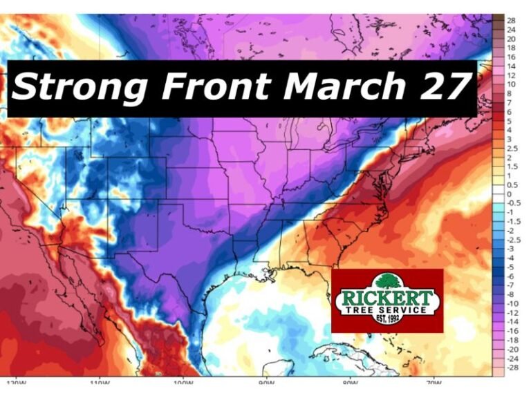
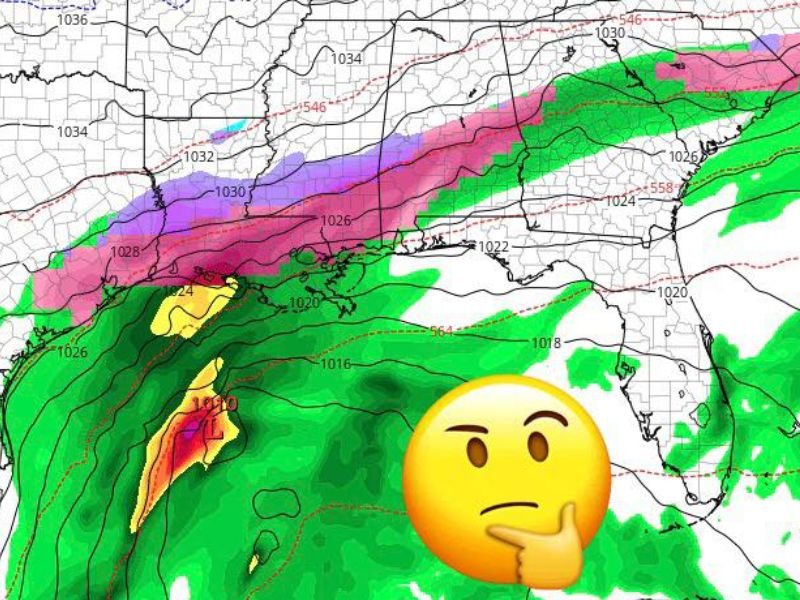
GULF COAST — Long-range forecast models are once again hinting at a possible winter weather setup along parts of the Gulf Coast around January 21, including areas of Texas, Louisiana, Mississippi, Alabama, and the Florida Panhandle, but meteorologists stress the signal is far from locked in and should not be taken as a firm prediction. The latest Global Forecast System (GFS) model run is showing a broad swath of freezing rain and wintry precipitation near coastal regions — a scenario that historically starts as a joke two weeks out and sometimes ends up being anything but.
Why Forecasters Are Paying Attention Despite the Long Lead Time
At roughly two weeks out, confidence in any specific outcome remains low. Weather models at this range are known to fluctuate significantly, and forecasters caution that early runs are often unreliable.
That said, the date itself is raising eyebrows. This same time frame last year initially appeared in long-range guidance as unrealistic, only to later materialize into a significant Gulf Coast winter event as the forecast window narrowed.
What the Current Model Is Suggesting
The latest guidance shows a classic winter storm setup that could, if it holds, place cold air at the surface while moisture rides in from the Gulf.
If this pattern were to verify closer to the event, impacts could include:
- Freezing rain near coastal and inland Gulf areas
- Snow and sleet farther north
- Hazardous travel conditions if cold air becomes entrenched
At this stage, these outcomes are possibilities, not forecasts.
Why This Setup Is Being Watched Closely
Meteorologists note that Gulf Coast winter storms often begin as highly questionable model signals that slowly gain consistency across multiple runs.
Key reasons this pattern cannot be ignored include:
- Repeated appearance of wintry precipitation in the same general region
- A familiar late-January timing window
- Historical precedent for similar setups verifying
However, none of these factors guarantee an actual event.
What This Does — and Does Not — Mean Right Now
It is important to clearly separate signal from certainty.
- This setup does not guarantee a major ice storm.
- It does not mean everyone along the Gulf Coast will see winter weather.
- It does not confirm exact locations, impacts, or timing.
What it does mean is that forecasters will continue monitoring trends as the forecast window tightens.
Why Gulf Coast Winter Forecasts Are Treated Differently
Winter weather along the Gulf Coast is notoriously difficult to predict. Small temperature shifts can mean the difference between cold rain and dangerous ice. Forecasters often describe these events as starting “as jokes” in long-range guidance before becoming legitimate threats days later. For now, this remains a watch-and-wait situation.
Bottom Line for Gulf Coast Residents
At this point, there is no reason to panic and no immediate action required. But dismissing the signal entirely would also be a mistake. As January progresses and models gain clarity, confidence will increase — one way or the other. SaludaStandard-Sentinel.com will continue tracking this evolving winter pattern and provide updates as more reliable data becomes available.