Texas Faces Unseasonably Warm January Work Week as Temperatures Surge Into the 70s and 80s Before Weekend Cooldown
TEXAS — An unusually warm stretch of winter weather is set to continue across Texas throughout the upcoming work week, with temperatures running well above seasonal averages and approaching record-level highs in several areas. Forecast data shows persistent warmth through Friday, followed by a dry cold front over the weekend that will bring temperatures back closer to normal by Sunday.
This pattern follows an already warm start to January, reinforcing a broader trend of above-average winter temperatures across the state.
Temperatures Far Exceed January Normals
Average high temperatures in North Texas typically sit near 56 degrees in January, but forecast guidance indicates highs soaring into the upper 70s and even low 80s during the middle of the work week. These values are 20 to 25 degrees above normal, placing some locations near daily record highs.
The strongest warmth is expected from Tuesday through Friday, with widespread mild mornings and unusually warm afternoons dominating much of the state.
Warm Pattern Holds Through Friday
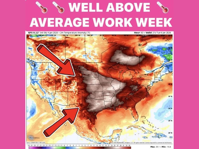
Weather models show little change in the overall pattern through the end of the work week, allowing warm air to remain firmly in place. This sustained warmth is supported by a large-scale temperature anomaly pattern that keeps colder air displaced well north of Texas.
Because the warm air mass remains stable, no major temperature drops are expected before Saturday, allowing outdoor conditions to feel more like early spring than mid-winter.
Limited Rain Chances Midweek
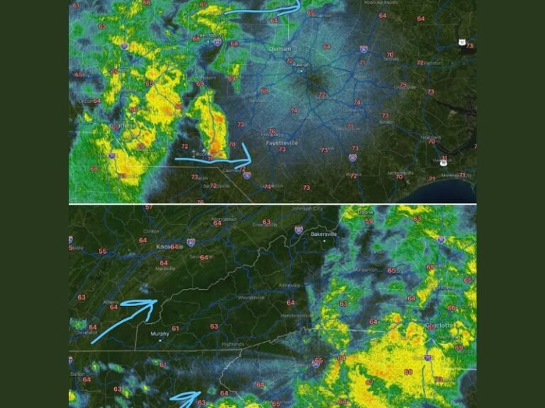
While the week will be largely dry, scattered rain chances are possible overnight Wednesday, mainly in the form of light showers. These rain chances are expected to be spotty and short-lived, with no widespread rainfall or severe weather signals indicated in the data.
Aside from this brief window, dry conditions will dominate, further reinforcing the spring-like feel across the state.
Cold Front Brings Seasonal Relief This Weekend
A cold front is expected to arrive Saturday, finally bringing an end to the extended warm stretch. Unlike typical winter fronts, this system appears dry, meaning no significant rain or storms are expected as temperatures fall.
By Sunday, highs are forecast to return to seasonal January averages, offering a more typical winter feel after several days of near-record warmth.
What This Means for Texans
This forecast highlights a rare January warm spell, with energy demand shifts, early vegetation responses, and increased fire weather awareness possible in some areas due to dry and warm conditions. While the warmth will be welcomed by many, residents are advised to remain aware of rapid seasonal swings, especially as winter is far from over.
For continued updates on Texas weather patterns and major climate shifts, stay with SaludaStandard-Sentinel.com.