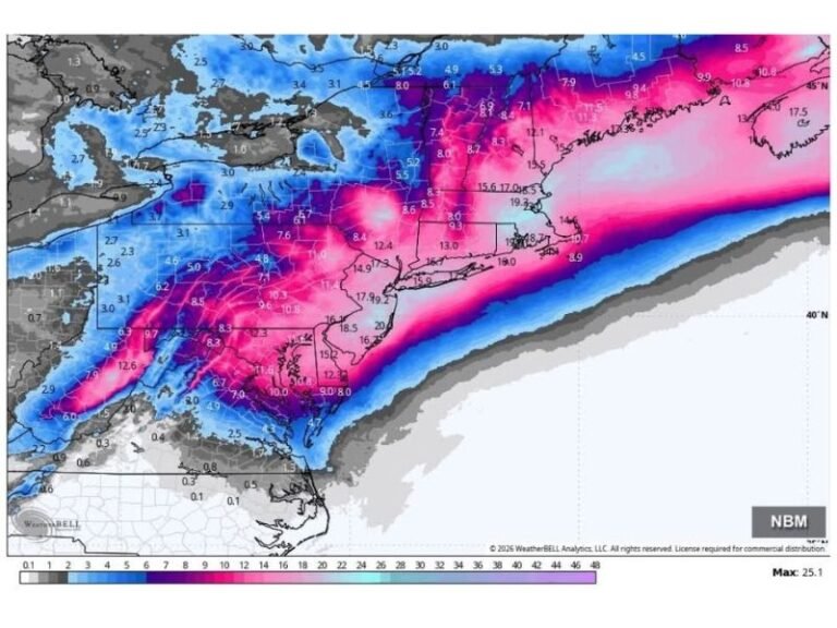
Weather Models Shift Dramatically as EURO and GFS Now Show Warm Surge Instead of Deep January Cold, With Possible 70° Temperatures Around January 6–7
UNITED STATES — A major shift in long-range weather models has flipped the early January outlook, with the latest runs of both the EURO and GFS backing away from previously projected deep winter cold. Instead of a strong Arctic trough, forecasters say the models now show a ridge building in, opening the door for much warmer air to surge into parts of the country around January 6–7.
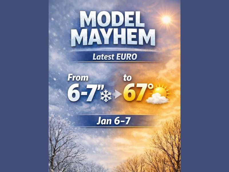
If this updated pattern holds, some regions that were once projected for 6–7 inches of snow may instead experience temperatures climbing toward 67–70°F, a remarkable reversal as winter settles in.
From Snowy Outlook to Potential 70-Degree Warmth
Earlier model runs had suggested a cold, snowy beginning to January. But the newest EURO output — highlighted in the “Model Mayhem” comparison graphic — shows a pronounced warm pattern in place during the same period. Meteorologists caution that such a dramatic flip is unusual but not unprecedented, especially during winters influenced by strong atmospheric variability.
If the ridge amplifies as shown:
- Widespread above-normal temperatures are likely
- Some areas in the central and eastern U.S. could reach the upper 60s to near 70°F
- Snow chances will shift away from early January
This type of sudden pattern reversal can significantly impact travel, energy demand, and localized winter preparedness.
Winter Not Over: Active Pattern Still Expected Mid-Month
Although early January may trend warmer, forecasters emphasize that winter’s overall pattern remains active. Multiple systems carrying moisture are expected to return around January 6–7 and continue every few days through mid-month.
That means:
- Rain becomes more likely during the warmer period
- Temperature swings could occur rapidly
- Cold air may return once the ridge weakens
Meteorologists say the most promising window for widespread snow may now shift to mid-to-late January, depending on how the jet stream evolves.
Why the Models Changed
The flip stems from a substantial shift in upper-atmospheric pattern projections:
- Earlier runs favored a deep trough, pulling cold Arctic air south
- Newer runs now show a strong ridge, allowing warm Gulf and subtropical air to expand northward
These sharp changes reflect ongoing uncertainty in long-range forecasting, particularly during transitional weather phases.
Could the Pattern Flip Again?
Forecasters say yes — and they are watching closely. Model volatility has been high this winter, and another reversal could shift the pattern back toward a colder scenario. Residents are encouraged to monitor updates daily as confidence grows around early January trends. Stay informed and share local weather observations at SaludaStandard-Sentinel.com.

