North Carolina Bracing for Powerful 55–65 MPH Wind Gusts Monday as Strong Cold Front Sweeps Across the State
NORTH CAROLINA — Forecasters warn that a strong cold front will sweep across North Carolina on Monday, bringing widespread 30–65 mph wind gusts, sharply changing conditions, and elevated fire danger throughout the afternoon and into early Tuesday.
Wind Gusts to Intensify From West to East
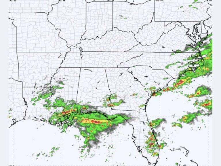
According to updated modeling, Monday morning will begin mild with scattered showers moving west to east. By midday, the leading edge of the cold front will arrive, causing winds to intensify rapidly.
Central and eastern North Carolina are expected to see 30–45 mph gusts, while the mountains and foothills may experience 44–55 mph gusts, with the highest elevations reaching 55–65 mph. These intense gusts may occur in short bursts as the front moves through.
Risk of Downed Trees, Power Outages, and Fire Danger
Forecasters warn that the incoming wind event may lead to isolated downed trees, scattered power outages, and travel disruptions, especially in western counties where the strongest winds are expected.
Much of the state will also face a period of increased fire danger Monday afternoon. With the combination of warm temperatures ahead of the front and rapidly strengthening winds, any fire that starts could spread quickly and become difficult to control. Residents are urged to avoid outdoor burning entirely.
Rapid Temperature Drop Monday Night
Behind the front, temperatures will fall sharply statewide Monday night into Tuesday, ending the day’s mild conditions. The combination of colder air and leftover wind gusts may create additional hazards on elevated roadways and bridges. Officials recommend securing loose outdoor items, reviewing power outage plans, and exercising caution when traveling during periods of stronger wind bursts.
Winds Peak Late Monday Into Early Tuesday
Wind gusts are expected to remain elevated into early Tuesday morning before gradually diminishing. The most significant impacts are forecast for:
- Mountains and Foothills: 55–65 mph
- Western Piedmont: 45–55 mph
- Central and Eastern Counties: 30–45 mph
Communities across the state should prepare for changing weather conditions throughout the day Monday. For continuing statewide coverage and impact updates, visit SaludaStandard-Sentinel.com.