Winter Storm Models Suggest Potential for Significant Snowfall in Asheville and Western North Carolina Around January 6–7
ASHEVILLE, North Carolina — Early long-range weather models are signaling the possibility of significant snowfall across Asheville and parts of western North Carolina around January 6–7, though forecasters stress that it is still too early for a guaranteed forecast. The pattern, however, is generating attention due to similarities with past winter setups.
Multiple Models Show 4–8 Inches or More in Some Scenarios
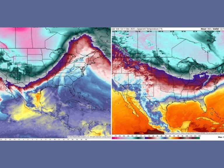
Model projections shared this week display a wide range of possibilities, with some showing 8.5 inches near Asheville, others showing around 4.5 inches, and certain runs indicating totals near 7 inches if conditions align. These estimates come from EURO AI, EURO, and GFS model guidance, which collectively suggest a potentially impactful system developing just east of the mountains.
While this range is typical at long distances, meteorologists say the consistency of the signal is worth monitoring.
Cold Front and Arctic Air Could Support a Significant Snow Event
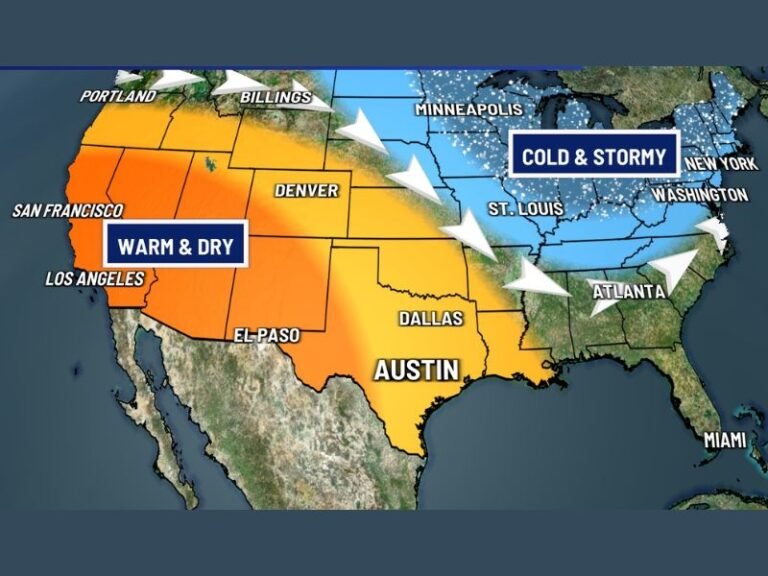
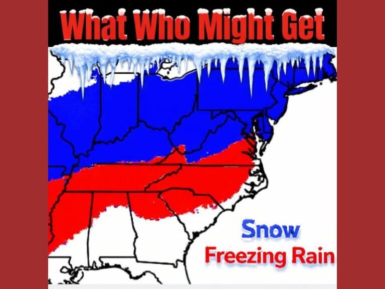
According to the analysis, a strong cold front is expected to move across the region with cold air pushing in behind it. This opens the door for a more organized winter storm if moisture aligns with the advancing cold air mass.
Forecasters emphasize that this is a tease rather than a confirmed forecast, but the atmospheric ingredients being modeled are reminiscent of patterns that have produced notable January snowstorms in the past.
History Shows Similar Setups Have Produced Big Snow for Asheville
Weather observers note that a similar configuration produced a major Asheville snowfall in January 2022, and long-range forecasters often look for repeatable patterns. The current setup features:
- Cold air arriving at the right time
- Moisture surging east of the mountains
- Model agreement showing higher totals east of the Blue Ridge
This combination has historically resulted in measurable winter weather for the region.
Forecasters Urge Caution: It’s Still a Week Away
Despite the enthusiasm from model watchers, meteorologists caution that storm forecasts more than a week out can shift significantly. Model volatility is common, and totals often change as the system moves closer.
At this stage, the scenario is considered a pattern worth watching, not a confirmed snowstorm. Still, early indicators are strong enough to put Asheville and the surrounding region on the winter-weather radar. Residents across western North Carolina are encouraged to follow updated forecasts and share local winter observations with SaludaStandard-Sentinel.com as the potential system approaches.


