Texas, Louisiana, Mississippi, Alabama, and Georgia Face Multi-Day Heavy Rain Threat as Atmospheric River Forms After January 4
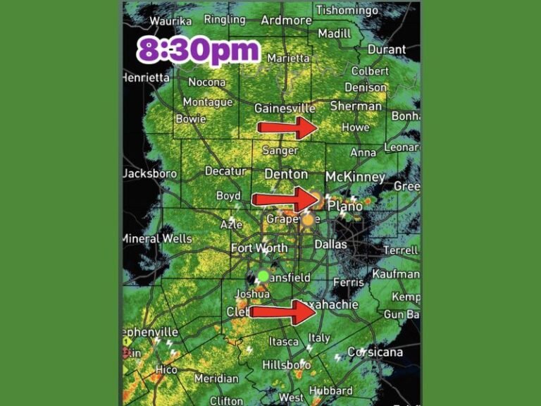
TEXAS — A major shift in the weather pattern is developing across the southern United States, and forecasters are urging residents to prepare for what could become several days of continuous, soaking rainfall. Beginning shortly after January 4, a strong moisture pipeline—known as an atmospheric river—is expected to set up across Texas, Louisiana, Mississippi, Alabama, and Georgia, raising concerns about flooding, saturated soil, and persistent travel issues.
Atmospheric River Pattern Strengthening Across the South
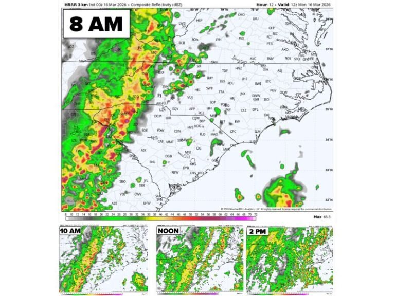
Meteorologists monitoring medium-range weather guidance confirm that repeated model runs are now showing a robust moisture plume stretching from the Gulf of Mexico into the Deep South. Unlike a typical storm system that moves through in one or two days, an atmospheric river acts like a conveyor belt, continually funneling moisture into the same region.
This means residents across the southern states may experience intermittent or non-stop rainfall, potentially lasting four to six days, depending on how long the system remains stalled.
Forecasters emphasize that this development is significant because earlier projections had indicated worsening drought conditions and minimal rainfall across the region. Now, the setup appears to be shifting dramatically toward an extended wet period.
Why This Pattern Is Concerning
Atmospheric rivers are known for their ability to deliver high-impact rain events, even when individual rounds of rain do not appear severe on their own. The issue comes from duration, not intensity.
Key risks include:
• Rapid soil saturation, especially in low-lying or previously soaked areas
• Localized flash flooding across urban neighborhoods and rural communities
• Rising creek, river, and bayou levels that may remain elevated for days
• Hydroplaning hazards and deteriorating travel conditions on major roadways
• Heavy runoff from prolonged thunderstorms and steady rain bands
While this rain may benefit drought-stricken zones, meteorologists warn that the transition from dry to saturated ground can happen quickly, especially when moisture supply is uninterrupted.
A Persistent Wet Pattern Through the First Week of January
Forecast maps suggest the atmospheric river may intensify as it interacts with warm Gulf moisture. If this happens, areas from eastern Texas through southern Alabama and central Georgia could see multiple inches of rain, with some localized pockets receiving significantly more.
Communities that sit near rivers, bayous, or poor drainage zones should be ready for rises in water levels, even if rainfall appears light from hour to hour. Rainfall efficiency during atmospheric river events tends to be high, making it easy for widespread flooding to develop over time.
Meteorologists continue to stress that while exact totals and timing may shift slightly, confidence in a prolonged wet pattern remains high. This event is not expected to be a one-day system—it is shaping up to be an extended rainfall event that could affect daily commutes, local events, outdoor activities, and agricultural operations across the South.
What Residents Should Watch For
Residents across Texas, Louisiana, Mississippi, Alabama, and Georgia should pay close attention to local updates. Important steps include:
• Monitoring local weather alerts
• Staying aware of flash flood watches or advisories
• Preparing for road closures in flood-prone areas
• Securing property in areas vulnerable to runoff
More detailed projections will become available as the system moves closer, but the signal is already strong enough for early preparation. Stay updated with the latest severe weather alerts and local impact updates at SaludaStandard-Sentinel.com.