Warmer Pattern Ahead: Zonal Flow to Bring 60s, 70s, and Even 80s Across the Southern U.S. in Late December
UNITED STATES — After weeks of Arctic chill, the nation is preparing for a major warmup. Meteorologists report that a zonal flow — a west-to-east air current that brings mild Pacific air across the country — is developing and will dominate the second half of December, pushing winter’s coldest air masses back into Canada and the Arctic.
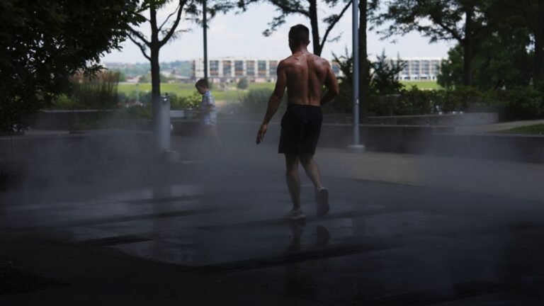
The change marks a sharp turnaround from the coldest start to December so far this season, when subfreezing temperatures stretched deep into the Midwest and South. Now, a much milder pattern is emerging, promising a stretch of 60s, 70s, and even a few 80-degree days in parts of the Southern U.S. before the year’s end.
Zonal Flow Replacing Arctic Air
Meteorologists describe this shift as a textbook setup for a warmer end to December. As the polar jet stream flattens and transitions to a zonal pattern, Arctic air that plunged into the continental U.S. earlier this month will retreat northward.
This new pattern allows air from the Pacific Ocean to flow across the western and southern U.S., keeping much of the country warmer than average through the holiday season.
“A much warmer second half of December is ahead,” one forecast explained. “As the colder air retreats, zonal flow will develop — bringing a steady flow of Pacific warmth and keeping Arctic air masses bottled up in Canada.”
Widespread 60s and 70s Expected — With Some 80s Possible
The warmest readings will likely occur across the Southern Plains, Texas, and portions of the Deep South, where daytime highs could easily reach the upper 70s and low 80s late next week.
Cities like Dallas, Houston, and San Antonio could approach 80°F, similar to the 82°F high recorded in Dallas on December 30 last year. Meanwhile, most of the Mid-South and Southeast will stay comfortably in the 60s and 70s through Christmas week.
The warmth won’t stop there — mild temperatures are expected to extend into the Southwest, including New Mexico and Arizona, as Pacific air dominates the pattern.
Drier Conditions Persist Across the South
Along with the warmth, forecasters note that conditions will remain mostly dry across the southern tier of the U.S. for the next 7 to 10 days. Precipitation chances will stay low, with no major storm systems on the horizon until late December.
The combination of dry air and warmer temperatures may heighten fire-weather risks in parts of Texas, Oklahoma, and the desert Southwest, where vegetation remains parched from previous dry spells.
Milder Holiday Travel and Outdoor Conditions
This shift to a zonal flow pattern means a much easier stretch of holiday travel weather compared to the early December freeze. Road and air conditions across the South and lower Midwest are expected to stay favorable heading into Christmas and New Year’s weekends, with no widespread snow or ice concerns.
“Lots of 60s and 70s ahead — and I can’t rule out one or two 80-degree days before year’s end,” forecasters added.
Looking Toward January: What’s Next?
While the end of December looks mild, meteorologists caution that the pattern could flip again by early January. As the jet stream becomes more amplified, colder air may eventually surge back into the central and eastern U.S.
For now, though, the second half of December promises to be one of the warmest on record for much of the South — a striking contrast to the Arctic outbreak that kicked off the month.
For continued weather coverage and national forecast updates, visit SaludaStandard-Sentinel.com.