Severe Weather System Batters the South: Heavy Rain, Flooding, and Winter Mix Hit Multiple States from Louisiana to Tennessee
BIRMINGHAM, Ala. — A sprawling and volatile weather system stretching across the Deep South has unleashed torrential rain, flash flooding, and a mix of sleet and snow in parts of the region, creating travel hazards and prompting alerts from Louisiana to Tennessee.
Radar imagery Thursday night showed widespread precipitation spanning multiple states — with heavy rain bands over Mississippi, Alabama, and Georgia, and a wintry mix blanketing areas from Memphis to Nashville.
Meteorologists say the storm, powered by Gulf moisture clashing with a cold front, has created an intense gradient of rain, sleet, and snow, affecting millions of residents across the southern and central U.S.
Louisiana and Mississippi Swamped by Torrential Rain
Rainfall totals in parts of southern Louisiana and central Mississippi have already topped six inches, overwhelming drainage systems and flooding low-lying neighborhoods. Streets in New Orleans, Jackson, and Gulfport turned into rivers overnight as another wave of thunderstorms rolled through.
Emergency officials urged residents to avoid driving through flooded roadways, citing stalled vehicles and water rescues in several parishes and counties.
“The radar’s been lit up all day — it’s been nonstop,” one Mississippi resident said. “You step outside and it feels like the sky just opened up.”
Winter Mix and Ice Concerns for Tennessee and Arkansas
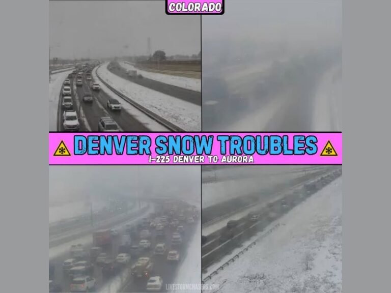
Farther north, the system transitioned into a messy winter mix of sleet and snow, particularly across Tennessee and northern Arkansas. Radar images showed a wide band of pink and blue — a telltale sign of frozen precipitation — stretching from Jonesboro to Nashville.
Forecasters warned that untreated roads and bridges could quickly become slick overnight, especially as temperatures dip near freezing.
The National Weather Service in Memphis cautioned travelers to expect “rapidly changing conditions,” noting that even light sleet or freezing rain can create treacherous driving surfaces.
Storms Extend Into Georgia, Alabama, and the Carolinas
By Thursday evening, the system’s rain shield expanded eastward into Georgia, Alabama, and South Carolina, delivering steady rainfall and isolated thunderstorms.
While Alabama endured heavy downpours throughout the day, Atlanta and surrounding areas saw intermittent rain that is expected to intensify overnight. Meanwhile, South Carolina and northern Florida are next in line, with scattered storms forecast through early Friday.
“It’s like the whole South got invited to the same rain party,” one forecaster quipped. “If your street isn’t a river by now, you live on blessed ground.”
What’s Next: Storm Shifts Toward the East Coast
The storm system is forecast to move east overnight and into Friday, bringing continued rain to the Carolinas and Georgia while snow persists in parts of Kentucky and Tennessee.
Behind the front, cooler and drier air will begin filtering in, offering some relief to the flood-weary Gulf Coast by the weekend.
However, forecasters warn that saturated ground conditions could lead to renewed flooding risks if another storm develops next week.
Residents across the affected states are advised to stay updated through local weather alerts and avoid unnecessary travel until conditions improve.
For continued weather coverage and local alerts, visit SaludaStandard-Sentinel.com.