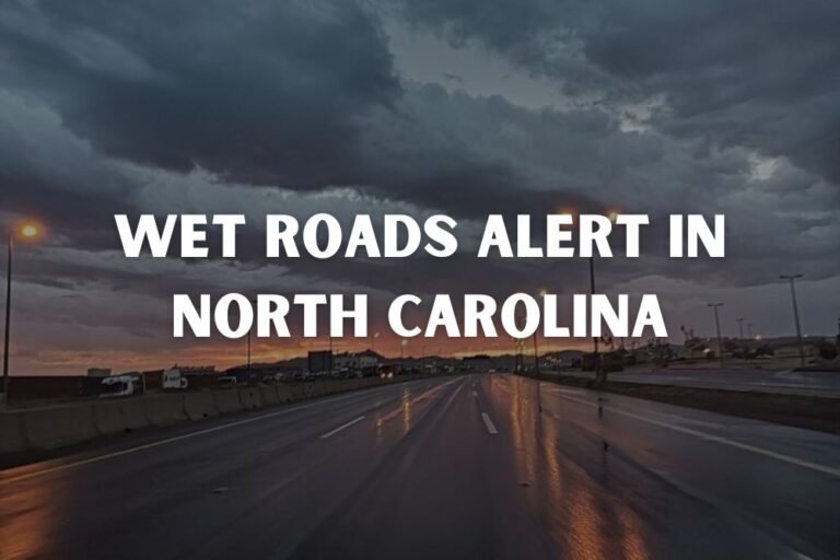
Severe Thunderstorms Drench Gulf Coast as Lightning and Flooding Hit Louisiana, Mississippi, and Alabama
NEW ORLEANS, La. — A powerful line of thunderstorms swept across the Gulf Coast Thursday night, drenching cities from New Orleans to Mobile with torrential rain, vivid lightning, and strong gusts that left residents scrambling for cover.
Radar images showed bands of heavy rain and embedded lightning stretching across southern Louisiana, southern Mississippi, and coastal Alabama, creating widespread flooding in low-lying streets and neighborhoods. Some residents compared the downpour to a “monsoon,” with rain falling so fast it resembled a tropical squall.
Residents Caught Off Guard by Sudden Deluge
Storms intensified during the evening hours, turning normally manageable rainfall into blinding sheets of water that flooded driveways, parking lots, and intersections within minutes. Thunderclaps rattled windows across the region, with lightning striking dangerously close in several areas.
“Lightning hit so close my whole soul jumped,” one Louisiana resident joked online. “I was out there holding a case of Coke Zeros like a life raft trying not to drown in my own driveway.”
Despite the humor circulating on social media, emergency officials warned that the severe lightning and rapid accumulation posed real risks, especially for motorists navigating through waterlogged roads.
Heaviest Rain Along the Gulf Coast Corridor
According to the National Weather Service, the heaviest rainfall was observed along the I-10 corridor, including New Orleans, Gulfport, and Mobile, where radar estimates showed 1 to 3 inches of rain in just a few hours. Additional light to moderate showers continued into the night, keeping roadways slick and visibility low.
The storms formed along a moisture-rich frontal boundary, combining Gulf humidity with cooler upper-level air to produce a volatile setup. Forecasters said isolated thunderstorms and lightning strikes could continue through early Friday morning before drier air filters in behind the system.
Travel and Power Concerns
While widespread outages were not immediately reported, scattered power flickers occurred across portions of coastal Mississippi and Louisiana due to nearby lightning strikes. Several communities also reported localized street flooding, particularly in urban drainage zones that tend to back up during intense downpours.
Drivers were urged to use caution, with officials reminding the public that “turn around, don’t drown” applies even during short-lived storms.
Looking Ahead: Calm After the Chaos
Forecasters expect conditions to gradually improve by Friday, with skies clearing from west to east as the storm system moves offshore. However, lingering moisture could keep humidity high across the weekend, with another weak disturbance possibly bringing light rain or drizzle by early next week.
Residents across the Gulf Coast — from Baton Rouge to Pensacola — are advised to remain alert for any additional weather advisories as saturated ground conditions could lead to renewed minor flooding.
For more live weather updates and safety alerts, visit SaludaStandard-Sentinel.com.