Weak Cold Front Slides Across Gulf Coast Bringing Light Rain to Texas, Louisiana, Mississippi, and Alabama
GULF COAST — A weakening cold front stretching across the Gulf Coast is producing light to moderate rain across parts of Texas, Louisiana, Mississippi, and Alabama this Sunday, but forecasters say the line is expected to lose strength as it moves eastward.
Radar imagery shows the front currently extending from San Antonio and Houston through New Orleans, into Jackson, Mississippi, and up toward Birmingham, Alabama. While it’s holding together for now with spotty downpours, meteorologists say the system will likely fall apart later tonight as it nears the Mississippi and Alabama coasts.
Light Showers Sweep Across the Region
The frontal boundary brought scattered showers through Southeast Texas earlier today, including isolated heavier pockets near Houston and Beaumont, before sliding east across Louisiana’s parishes and into southern Mississippi.
Areas around New Orleans, Gulfport, and Mobile are seeing periods of light rain and drizzle, while northern portions of Alabama and Mississippi may catch a few lingering sprinkles into the evening.
Forecasters say the rain is not expected to be severe, and no flooding concerns are currently in effect.
“This front looks more like a soggy inconvenience than a storm threat,” one Gulf Coast meteorologist noted. “It’s a weak boundary, and most of it will fizzle out as it moves toward the coast.”
Limited Thunderstorms Possible
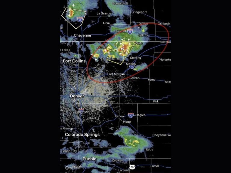
While most of the precipitation will remain light, isolated thunderstorms could still pop up over coastal areas of Texas and Louisiana, particularly near Galveston Bay and New Orleans, where moisture from the Gulf of Mexico continues to feed into the system.
However, once the front reaches southern Alabama and the western Florida Panhandle, drier air aloft is expected to cut off its support, causing the remaining showers to break apart overnight.
Cooler, Drier Air Follows Behind
Behind the front, slightly cooler and less humid air will filter in from the west, offering a brief taste of fall for much of the Gulf Coast. Overnight lows are forecast to dip into the 40s and low 50s across inland areas, with temperatures near 60°F along the coast.
By Monday morning, most of Texas and Louisiana will wake up to clearing skies and light northwest breezes, while Mississippi and Alabama will see lingering clouds early before conditions improve.
Looking Ahead
The National Weather Service says the pattern for early this week looks mostly quiet once the front dissipates, though another, stronger system could take shape later in the week, bringing renewed chances for rain across the South and Gulf states.
For now, forecasters advise residents to keep an umbrella handy through Sunday night, especially in coastal and southern areas, where brief downpours could still pop up.
Stay informed with regional updates and weather alerts at SaludaStandard-Sentinel.com.