Light Winter Mix Expected in Oklahoma and North Texas Monday Morning, Freezing Drizzle Could Create Slick Spots
OKLAHOMA — A light wintry mix of freezing drizzle and sleet is expected to develop early Monday morning across parts of western and central Oklahoma, extending southward into portions of northwest Texas, according to forecasters. While the precipitation amounts are projected to remain light, drivers are being urged to exercise caution as slick spots may form on bridges, overpasses, and untreated roads.
Meteorologists say the system will bring a narrow corridor of freezing drizzle beginning before sunrise and lasting through mid-morning. Although major travel disruptions are not expected, even a thin glaze of ice can cause hazardous travel conditions during the Monday commute.
Areas Most Likely to See Ice or Sleet
Forecast models indicate the highest chance for freezing precipitation will stretch from Altus to Lawton in Oklahoma, reaching Vernon and Wichita Falls across the Texas border. Lighter amounts may extend northeastward toward Oklahoma City, Norman, and Shawnee, tapering off by late morning.
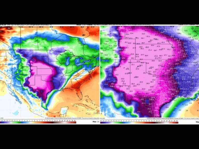
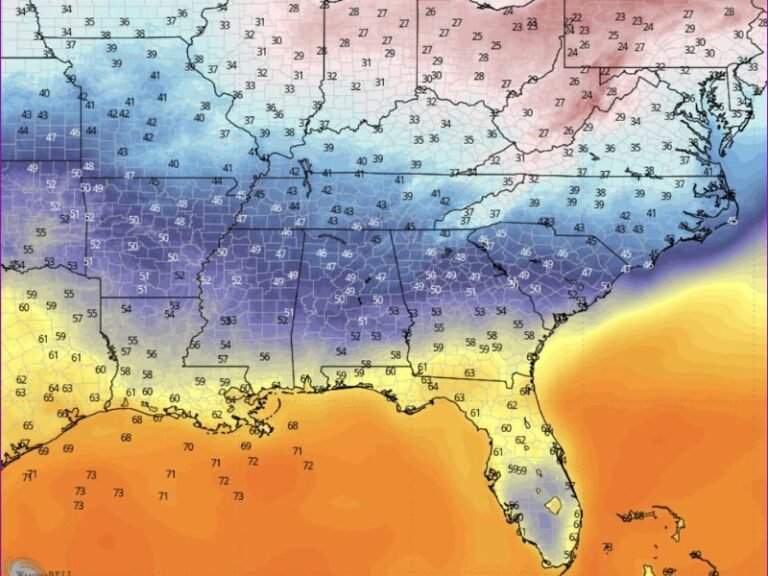
Temperatures will hover near the freezing mark, meaning precipitation type and impacts may vary significantly across short distances.
“While this isn’t a high-impact winter event, even a few hundredths of an inch of freezing drizzle can cause slick elevated surfaces and make bridges dangerous,” meteorologists cautioned.
Travel and Safety Precautions
Officials are reminding residents to allow extra time for travel, particularly during the early morning commute. Roads may appear just wet but could in fact be covered in thin ice, especially in shaded or elevated areas.
Drivers are advised to:
- Slow down and increase following distance.
- Avoid sudden braking or sharp turns on icy patches.
- Check road conditions before departing.
- Watch for icing on bridges and overpasses first.
Local departments of transportation have indicated that crews are on standby to treat problem spots if temperatures dip lower than forecast.
Minimal Accumulation but Still a Risk
The latest model data suggests no major accumulation of ice or snow, but forecasters emphasize that even minimal icing can be hazardous. Temperatures are expected to rise above freezing by midday, helping melt any ice that forms.
The National Weather Service noted that the event will be “brief but potentially slick,” especially across the western and central parts of Oklahoma.
Looking Ahead
By Monday afternoon, warmer air will begin to push northward, ending the threat of freezing precipitation for most areas. However, cooler air will linger behind the system, keeping highs in the upper 30s to low 40s across much of Oklahoma and north Texas through the day.
Residents are encouraged to stay tuned for updated forecasts overnight and check local advisories early Monday morning before traveling.
For continuing weather updates and regional impact reports, follow SaludaStandard-Sentinel.com, where our weather desk tracks the latest advisories across the South and Midwest.


