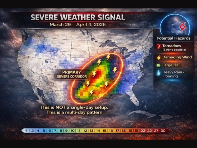
Severe Weather Threat Expands Across Texas, Louisiana, and Mississippi Saturday with Risk of Hail, Damaging Winds, and Isolated Tornadoes
TEXAS — The Storm Prediction Center (SPC) has issued a Level 1 out of 5 Marginal Risk for severe weather across Texas, Louisiana, and parts of Mississippi on Saturday, November 29, as a dynamic weather system brings thunderstorms capable of strong winds, hail, and isolated tornadoes.
While forecasters emphasize that this is not a high-end outbreak, conditions are favorable for scattered strong storms, and residents are urged to stay alert — especially through Saturday afternoon and evening.
What to Expect Saturday
The developing system will move across the southern U.S. during the day Saturday, pulling in warm Gulf moisture and creating unstable air that will fuel thunderstorms across a broad swath of the South.
Meteorologists say the day will begin relatively calm, but storm coverage will increase through the afternoon and evening hours, with thunderstorms rolling in like they’re late for a fight, as one forecaster put it.
Expected Impacts:
- Wind gusts up to 50 mph, capable of downing tree limbs and causing minor property damage
- Small to medium hail in the strongest cells
- Heavy rainfall with isolated flash flooding possible
- A low but notable tornado risk for quick spin-up twisters in unstable air pockets
Forecasters describe the setup as one that “should be fine… but might throw a tornado out of nowhere just to keep everyone humble.”
Risk Area
The highest potential for severe storms stretches from southeast Texas through central Louisiana and into southwestern Mississippi.
Cities within or near the risk zone include:
- Houston, Beaumont, and College Station in Texas
- Lake Charles and Baton Rouge in Louisiana
- Natchez and Jackson in Mississippi
Residents in these areas could see strong thunderstorm clusters develop by Saturday afternoon, moving eastward through the evening and into the overnight hours.
Safety Guidance
Meteorologists are advising residents to take all warnings seriously, even though this is considered a marginal risk event.
“If the sky turns that strange greenish tint and the wind starts whispering your name, it’s not time for pictures — it’s time to get indoors,” one forecaster joked.
Experts say the best way to receive timely alerts is to use a direct-call weather alert system like WeatherCall rather than relying solely on smartphone “maybe alerts,” which can be delayed or missed if notification settings aren’t configured properly.
“Even one brief spin-up tornado can cause major damage if you’re not ready,” meteorologists warned.
Looking Ahead
This latest storm threat comes amid a volatile late-November pattern typical of La Niña winters, which often bring alternating warm spells and severe weather risks to the South.
After Saturday’s storms, cooler and drier air will push in from the west, calming conditions by Sunday morning. However, the jet stream remains active, meaning additional storm systems could affect the region again next week.
Residents across Texas, Louisiana, and Mississippi are encouraged to keep multiple ways to receive alerts, especially for those traveling or attending weekend events.
For live radar coverage, severe weather updates, and expert analysis throughout the storm window, stay connected with SaludaStandard-Sentinel.com, where we track severe weather across the South and keep communities informed when it matters most.